All Saints' Church, Sunderland
Map
Facts and practical information
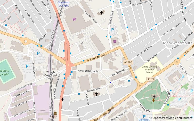
All Saints' Church is a church in Monkwearmouth, Sunderland, England. A parish of All Saints was formed in 1844 when it became clear that there was no longer enough room in the only parish church for Monkwearmouth, and a church for the new parish was completed and consecrated in 1849. One of its vicars was Alexander Boddy, and so All Saints' became known as the birthplace of modern British Pentecostalism. All Saints' is now again part of the parish of Monkwearmouth. ()
Completed: 13 May 1849 (176 years ago)Coordinates: 54°54'54"N, 1°22'48"W
Getting there by public transportation
Public transportation stops near this location
- Bus
- Light rail
 Bus
Bus
- Calculate routeStadium of Light 7 min walk
- Calculate routeSt Peter's 8 min walk
- Calculate routeSunderland 17 min walk
- Calculate routePark Lane 23 min walk
- Calculate routeSt Mary's Way 13 min walk
- Calculate routeSunderland Interchange 23 min walk
- Calculate routeSunderland Interchange Stand R 23 min walk
Day trips


Frequently Asked Questions (FAQ)
Which popular attractions are close to All Saints' Church?
Nearby attractions include Monkwearmouth Station Museum, Sunderland (3 min walk), St Peter's Church, Sunderland (7 min walk), Monkwearmouth–Jarrow Abbey, Sunderland (7 min walk), National Glass Centre, Sunderland (7 min walk).
How to get to All Saints' Church by public transport?
The nearest stations to All Saints' Church:
Light rail
Bus
Light rail
- Stadium of Light • Lines: Green (7 min walk)
- St Peter's • Lines: Green (8 min walk)
Bus
- St Mary's Way • Lines: 135 (13 min walk)
- Sunderland Interchange • Lines: 426, 436, 905 (23 min walk)