Roker Park, Sunderland
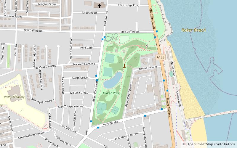
Map

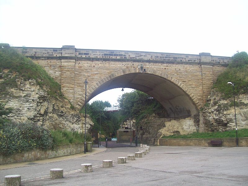
Gallery

Facts and practical information
Roker Park is a recreation park in the Roker area of Sunderland, Tyne and Wear, England. ()
Created: 1880Elevation: 56 ft a.s.l.Coordinates: 54°55'29"N, 1°22'11"W
Day trips
Roker Park – popular in the area (distance from the attraction)
Nearby attractions include: Stadium of Light, Sunderland Aquatic Centre, St Peter's Church, Wearmouth Bridge.
Frequently Asked Questions (FAQ)
When is Roker Park open?
Roker Park is open:
- Monday 8 am - 6 pm
- Tuesday 8 am - 6 pm
- Wednesday 8 am - 6 pm
- Thursday 8 am - 6 pm
- Friday 8 am - 6 pm
- Saturday 8 am - 6 pm
- Sunday closed
Which popular attractions are close to Roker Park?
Nearby attractions include Spottee's Cave, Sunderland (3 min walk), St Andrew's Church, Sunderland (4 min walk), Sunderland Volunteer Life Brigade - SVLB Search & Rescue, Sunderland (8 min walk), All Saints' Church, Sunderland (20 min walk).
How to get to Roker Park by public transport?
The nearest stations to Roker Park:
Light rail
Bus
Light rail
- Stadium of Light • Lines: Green (18 min walk)
- Seaburn • Lines: Green (20 min walk)
Bus
- St Mary's Way • Lines: 135 (33 min walk)


