Ardwick, Manchester
Map

Map

Facts and practical information
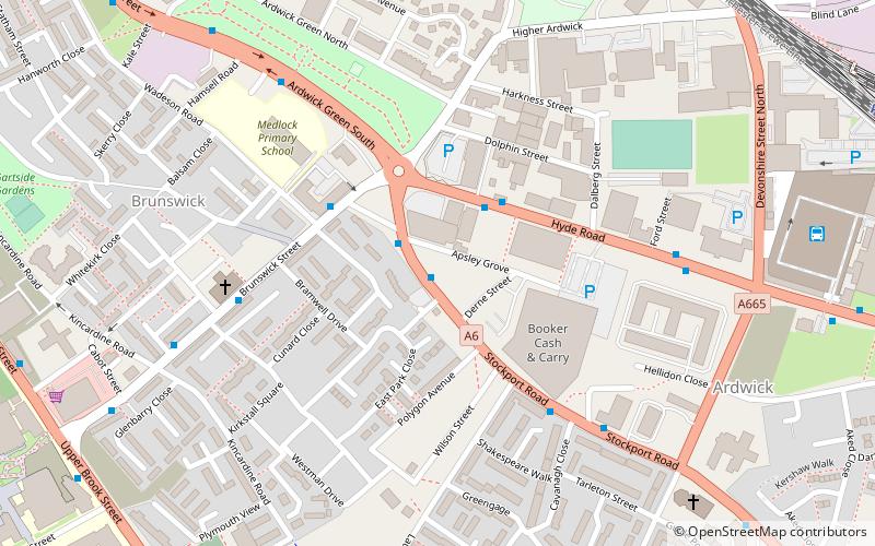
Ardwick is a district of Manchester in North West England, one mile south east of the city centre. The population of the Ardwick Ward at the 2011 census was 19,250. ()
Address
ArdwickManchester
ContactAdd
Social media
Add
Day trips
Ardwick – popular in the area (distance from the attraction)
Nearby attractions include: Manchester Aquatics Centre, Manchester Museum, Elizabeth Gaskell's House, Whitworth Art Gallery.
Frequently Asked Questions (FAQ)
Which popular attractions are close to Ardwick?
Nearby attractions include O2 Apollo Manchester, Manchester (1 min walk), Chorlton-on-Medlock, Manchester (5 min walk), Ardwick Green, Manchester (6 min walk), 84 Plymouth Grove, Manchester (10 min walk).
How to get to Ardwick by public transport?
The nearest stations to Ardwick:
Bus
Train
Tram
Bus
- Brunswick, Stockport Road / outside Apollo Theatre • Lines: 192 (1 min walk)
- Ardwick, Hyde Road / outside Apollo • Lines: 203 (2 min walk)
Train
- Ardwick (11 min walk)
- Manchester Piccadilly (17 min walk)
Tram
- Piccadilly • Lines: Altr, Asht, Bury, Eccl, Mcuk, Picc (17 min walk)
- New Islington • Lines: Asht, Eccl, Mcuk (22 min walk)

 Metrolink
 Metrolink / Rail


