Palace Theatre, Manchester
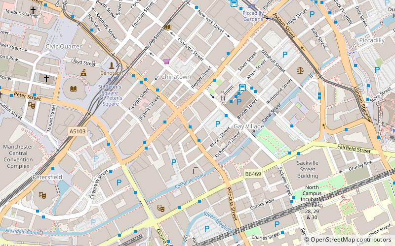
Map
Map

Facts and practical information
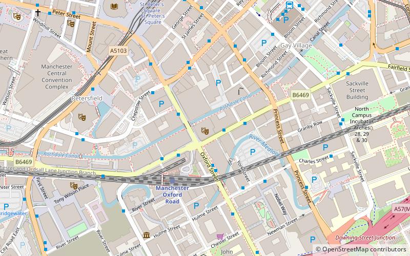
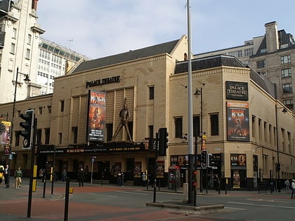
The Palace Theatre, Manchester, is one of the main theatres in Manchester, England. It is situated on Oxford Street, on the north-east corner of the intersection with Whitworth Street. The Palace and its sister theatre the Opera House on Quay Street are operated by the same parent company, Ambassador Theatre Group. The original capacity of 3,675 has been reduced to its current 1,955. ()
Opened: 18 May 1891 (134 years ago)Capacity: 1955Coordinates: 53°28'30"N, 2°14'27"W
Day trips
Palace Theatre – popular in the area (distance from the attraction)
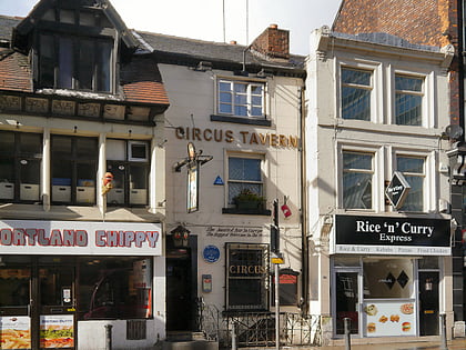
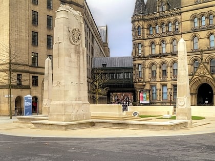
Nearby attractions include: Manchester Art Gallery, The Briton's Protection, Manchester Cenotaph, Bridgewater Hall.
Frequently Asked Questions (FAQ)
Which popular attractions are close to Palace Theatre?
Nearby attractions include Tootal, Manchester (2 min walk), Cornerhouse, Manchester (2 min walk), Whitworth Street, Manchester (3 min walk), The Ritz, Manchester (3 min walk).
How to get to Palace Theatre by public transport?
The nearest stations to Palace Theatre:
Bus
Train
Tram
Bus
- Manchester City Centre, Oxford Street / near Gt Bridgewater Street • Lines: 191, 197 (2 min walk)
- Whitworth St West/Oxford Rd Stn • Lines: 2, 2 (peak) (2 min walk)
Train
- Manchester Oxford Road (3 min walk)
- Deansgate (11 min walk)
Tram
- St. Peter's Square • Lines: Airp, Altr, Asht, Bury, Eccl, EDid, Mcuk, Picc, Roch, Shaw, Vict (6 min walk)
- Deansgate-Castlefield • Lines: Airp, Altr, Asht, Bury, Dean, Eccl, EDid, Mcuk, Picc, Roch, Shaw, Vict (10 min walk)
 Metrolink
 Metrolink / Rail


