Hafod Uchtryd
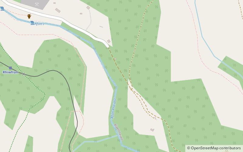
Map
Gallery
Facts and practical information
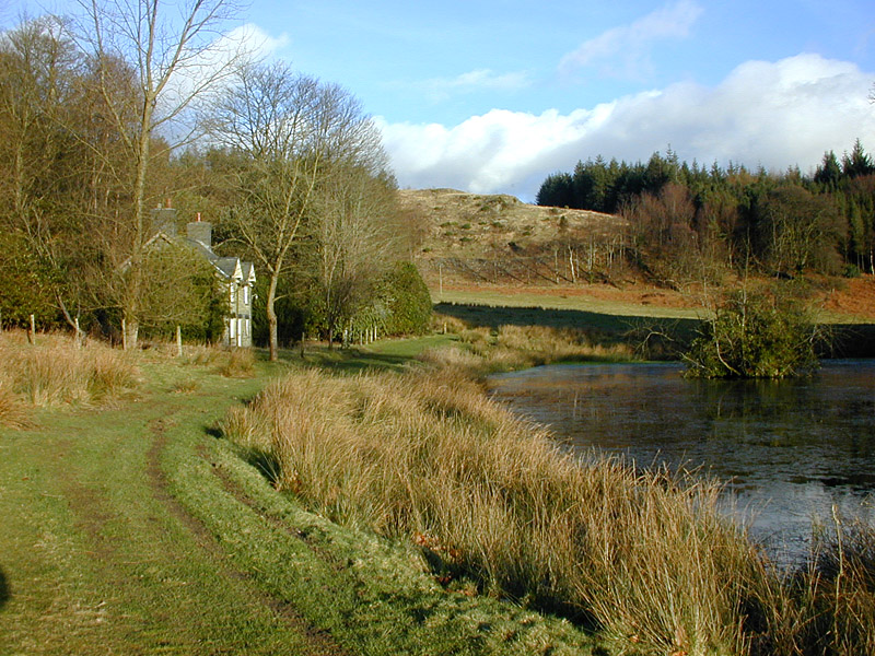
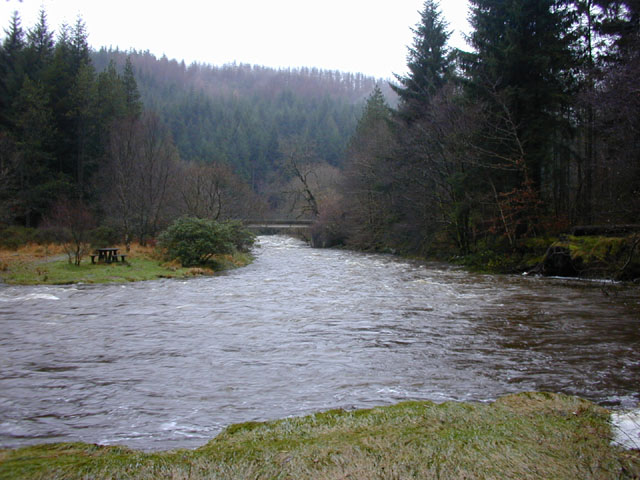
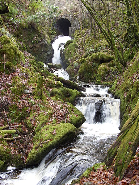
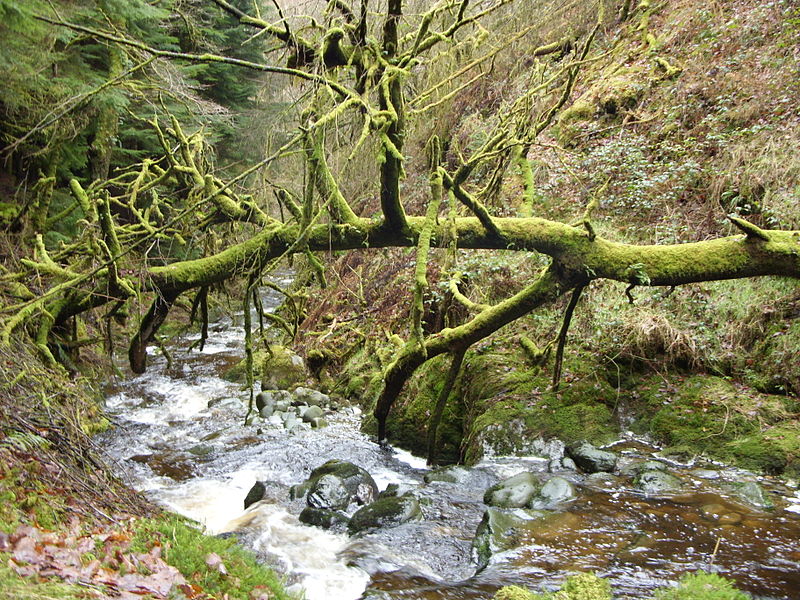
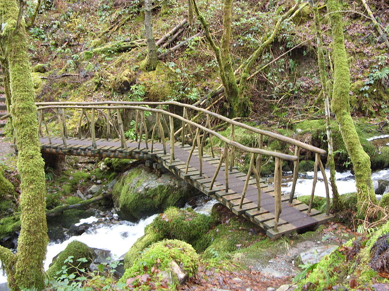
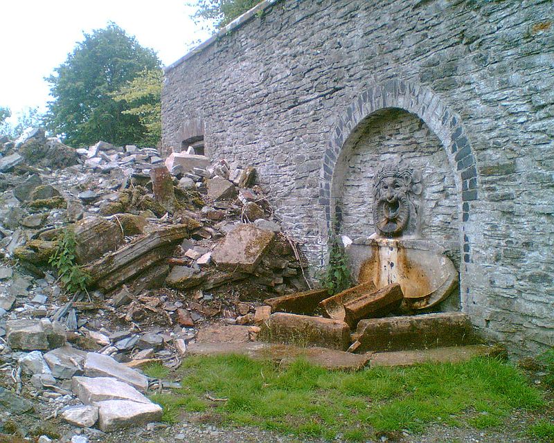
Hafod Uchtryd is a wooded and landscaped estate in the Ystwyth valley in Ceredigion, Wales. Near Devil's Bridge, Cwmystwyth and Pont-rhyd-y-groes, it is off the B4574 road. Hafod Uchtryd land was within the boundaries of the Cistercian Abbey Strata Florida. Originally a hunting lodge for Welsh Chieftains, it became home to the landed gentry and the nobility. In the late eighteenth century, a celebrated landscape was created under the ownership of Thomas Johnes. ()
Coordinates: 52°22'12"N, 3°57'42"W
Location
Wales
ContactAdd
Social media
Add
Day trips
Hafod Uchtryd – popular in the area (distance from the attraction)
Nearby attractions include: St Padarn's Church, Aberystwyth Arts Centre, National Library of Wales, Ystwyth Trail.


