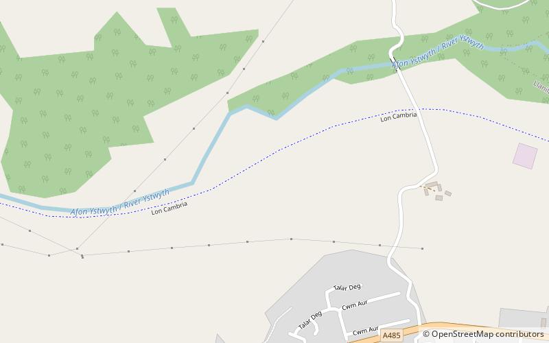
Ystwyth Trail, Aberystwyth
Map

Map

Facts and practical information
The Ystwyth Trail is a 21-mile multi-use rail trail linking Aberystwyth, Llanfarian, Ystrad Meurig and Tregaron in Ceredigion, Wales. Cycling and walking are permitted along the entire length while horseriding is permitted on several sections only. ()
Coordinates: 52°21'35"N, 4°1'60"W
Address
Aberystwyth
ContactAdd
Social media
Add
Day trips
Ystwyth Trail – popular in the area (distance from the attraction)
Nearby attractions include: Aberystwyth Castle, St Padarn's Church, Pen Dinas, Ceredigion Museum.


