Tomen yr Allt

Gallery (1)
Map
Map
Facts and practical information
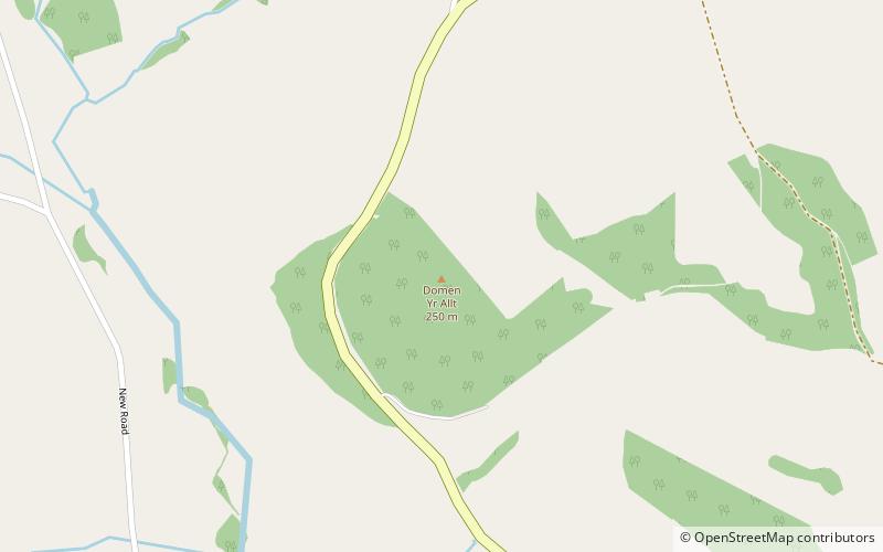
Tomen yr Allt was a Medieval motte and bailey defensive castle near Llanfyllin in Powys, Wales. "Tomen ar hallt" is modern Welsh for "mound on the wooded hillside." ()
Built: X centuryAbandoned: 1257Length: 131 ftWidth: 131 ftCoordinates: 52°46'50"N, 3°17'46"W
Location
Wales
ContactAdd
Social media
Add
Day trips