Gyrn Moelfre

Gallery (1)
Map
Map
Facts and practical information
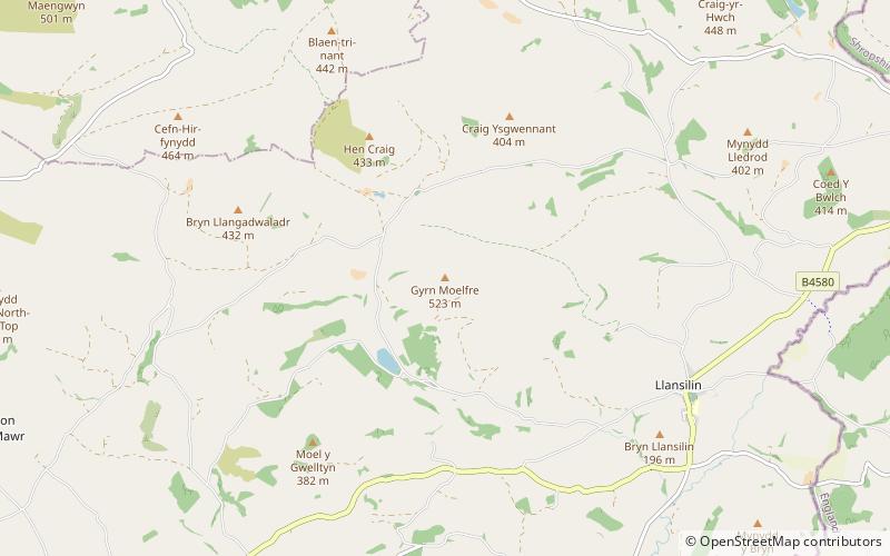
Gyrn Moelfre is a mountain in Powys, mid Wales, near the border with Shropshire. It stands to the south-east of the Berwyns, from which it is separated by Afon Ysgwennant. The village of Llansilin lies on its south-west slopes. It was historically in Denbighshire, but the area was transferred to Powys in 1996. ()
Elevation: 1716 ftProminence: 778 ftCoordinates: 52°51'23"N, 3°12'46"W
Location
Wales
ContactAdd
Social media
Add
Day trips