Avon Bridge, Bristol
Map

Map

Facts and practical information
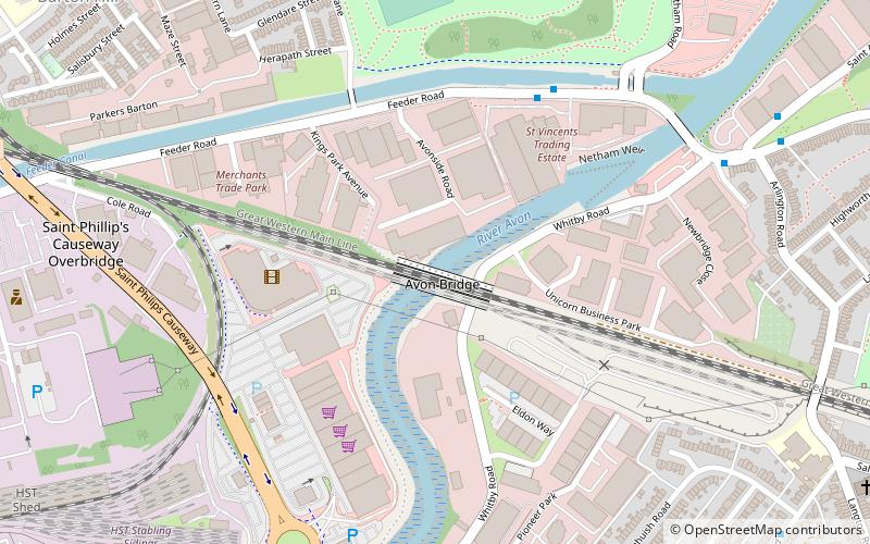
The Avon Bridge is a railway bridge over the River Avon in Brislington, Bristol, England. It was built in 1839 by Isambard Kingdom Brunel and has been designated by Historic England as a Grade I listed building. The contract was originally awarded to William Ranger, who fell behind with the build and had his construction plant seized so the Great Western Railway company could finish construction. Ranger started legal proceedings against the company, but they were eventually quashed by Lord Cranworth. ()
Coordinates: 51°26'59"N, 2°33'28"W
Address
Lawrence HillBristol
ContactAdd
Social media
Add
Day trips
Avon Bridge – popular in the area (distance from the attraction)
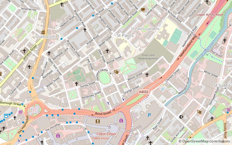
Nearby attractions include: Cabot Circus, Bristol and Bath Railway Path, Arno's Court Triumphal Arch, Circomedia.
Frequently Asked Questions (FAQ)
Which popular attractions are close to Avon Bridge?
Nearby attractions include Netham Lock, Bristol (6 min walk), Bristol Feeder Canal, Bristol (9 min walk), Barton Hill, Bristol (11 min walk), St Philip's Marsh, Bristol (14 min walk).
How to get to Avon Bridge by public transport?
The nearest stations to Avon Bridge:
Bus
Train
Bus
- Heber Street • Lines: 43 (15 min walk)
- Edward Street • Lines: 43 (16 min walk)
Train
- Lawrence Hill (18 min walk)
- Bristol Temple Meads (25 min walk)


