St George's Park, Bristol
Map

Gallery

Facts and practical information
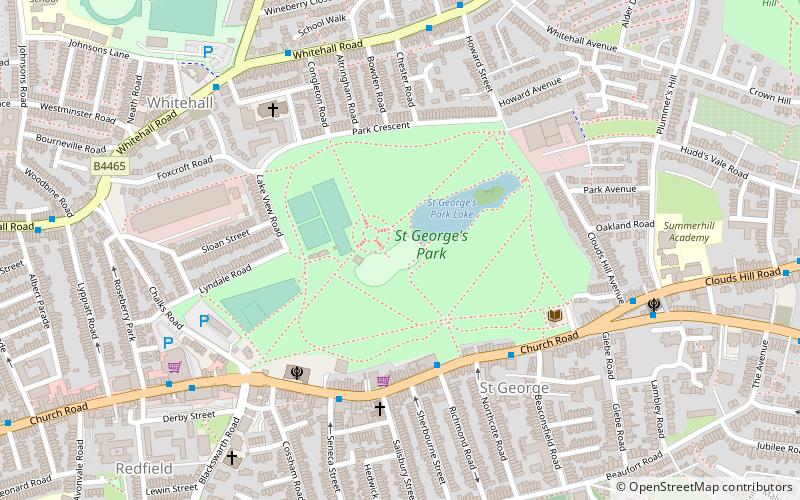
St George Park is a park on the eastern edge of the inner city in Bristol, England, in St George. Built on land that was originally The Fire Engine Farm, the park had many architectural features. All that remains of these is three of the original gate pillars at the main Church Road entrance. Many old photographs of the park show that it was a popular area in Edwardian times. The St George Library is situated on the edge the park, on Church Road. ()
Elevation: 151 ft a.s.l.Coordinates: 51°27'41"N, 2°32'51"W
Address
Church Road, St George, Bristol, BS5 7AASt. George WestBristol
ContactAdd
Social media
Add
Day trips
St George's Park – popular in the area (distance from the attraction)
Nearby attractions include: Bristol and Bath Railway Path, Easton Jamia Masjid, Eastville Park, St Werburgh's Church.
Frequently Asked Questions (FAQ)
Which popular attractions are close to St George's Park?
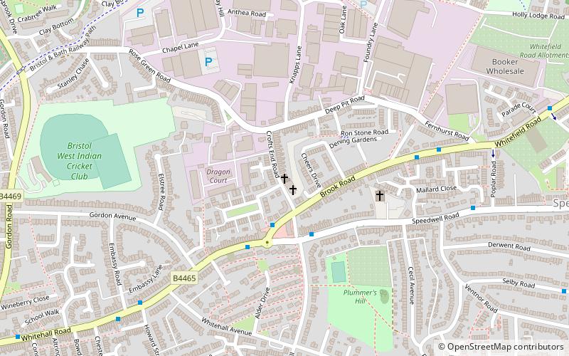
Nearby attractions include Redfield, Bristol (8 min walk), Crofts End Church, Bristol (12 min walk), Friends of Troopers Hill, Bristol (17 min walk), Netham Lock, Bristol (19 min walk).
How to get to St George's Park by public transport?
The nearest stations to St George's Park:
Bus
Train
Bus
- Northcote Road • Lines: 43 (4 min walk)
- Seneca Street • Lines: 43 (4 min walk)
Train
- Lawrence Hill (19 min walk)
- Stapleton Road (23 min walk)


