Bagley Wood, Oxford
Map

Map

Facts and practical information
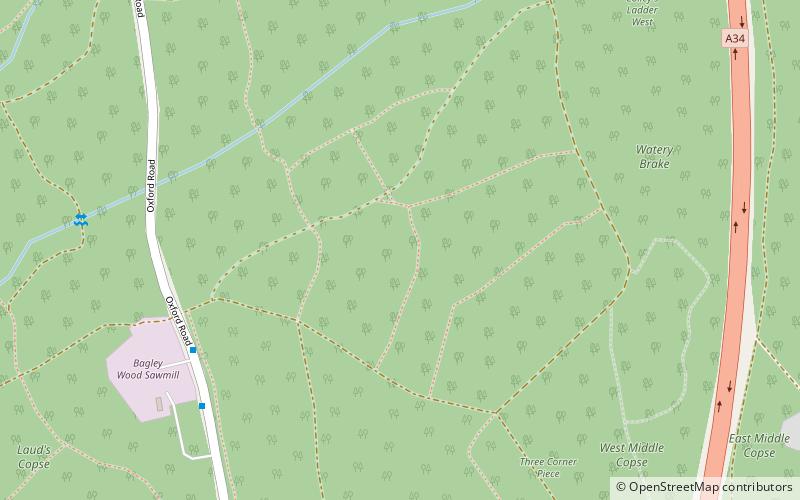
Bagley Wood is a wood in the parish of Kennington between Oxford and Abingdon in Oxfordshire, England. It is traversed from north to south by the A34 road, which was rerouted through the wood in 1972. ()
Coordinates: 51°42'57"N, 1°15'41"W
Day trips
Bagley Wood – popular in the area (distance from the attraction)
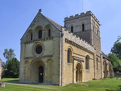
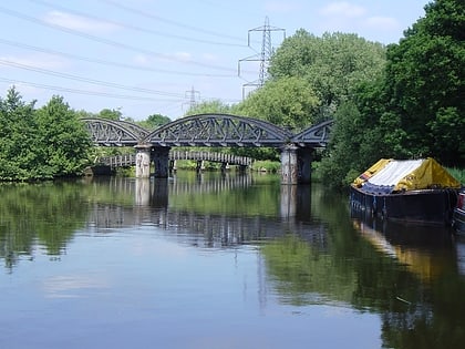
Nearby attractions include: St. Mary the Virgin Church, Kennington Railway Bridge, Sugworth, Hinksey Hill.
Frequently Asked Questions (FAQ)
Which popular attractions are close to Bagley Wood?
Nearby attractions include Hinksey Hill, Oxford (17 min walk), Sugworth, Oxford (22 min walk), Kennington Railway Bridge, Oxford (23 min walk).
How to get to Bagley Wood by public transport?
The nearest stations to Bagley Wood:
Bus
Bus
- Bertie Place • Lines: S8 (31 min walk)
- Canning Crescent • Lines: S8, X39, X40 (33 min walk)


