Iffley Lock, Oxford
Map
Gallery
Facts and practical information
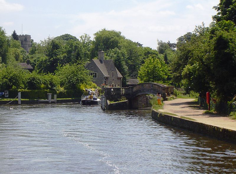
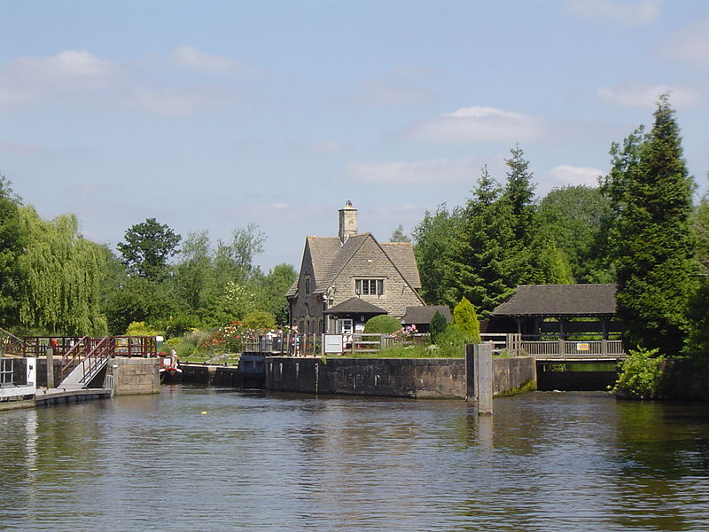
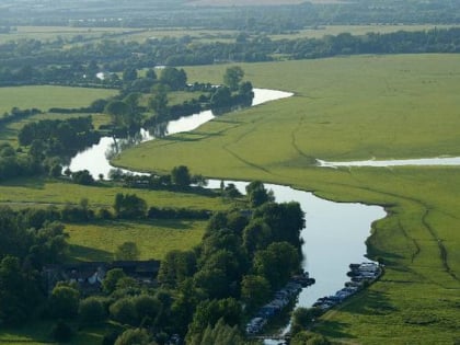
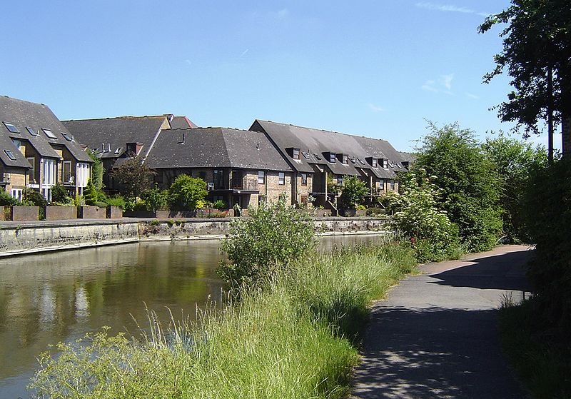
Iffley Lock is a lock on the River Thames in England near the village of Iffley, Oxfordshire. It is on the southern outskirts of Oxford. The original lock was built by the Oxford-Burcot Commission in 1631 and the Thames Navigation Commission replaced this in 1793. The lock has a set of rollers to allow punts and rowing boats to be moved between the water levels. ()
Coordinates: 51°43'43"N, 1°14'17"W
Day trips
Iffley Lock – popular in the area (distance from the attraction)
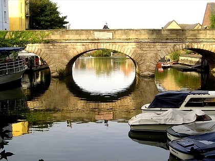
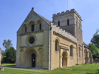
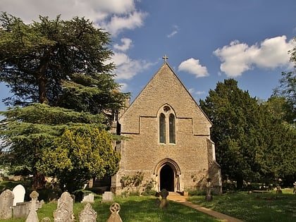
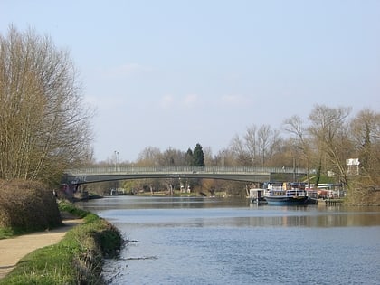
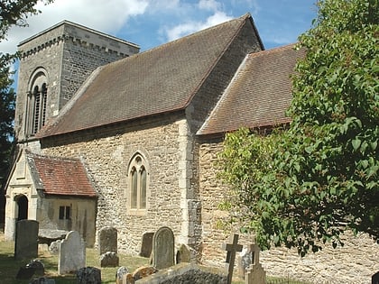
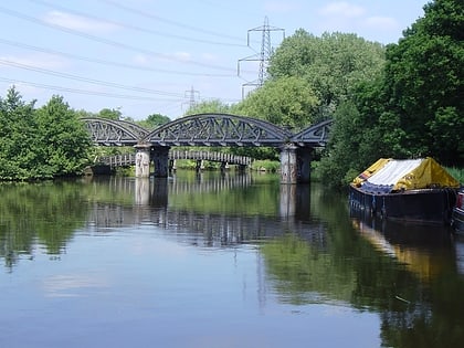
Nearby attractions include: Templars Square, Folly Bridge, St. Mary the Virgin Church, Church of St Mary and St Nicholas.
Frequently Asked Questions (FAQ)
Which popular attractions are close to Iffley Lock?
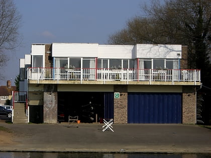
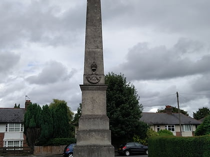
Nearby attractions include St. Mary the Virgin Church, Oxford (3 min walk), Isis Bridge, Oxford (8 min walk), Oxfordshire and Buckinghamshire Light Infantry War Memorial, Oxford (13 min walk), Donnington Bridge, Oxford (13 min walk).
How to get to Iffley Lock by public transport?
The nearest stations to Iffley Lock:
Bus
Bus
- Iffley Turn • Lines: 3A (12 min walk)
- Henley Avenue • Lines: 3A (13 min walk)


