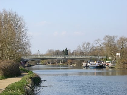
Isis Bridge, Oxford
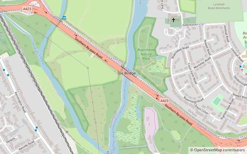
Map
Gallery
Facts and practical information
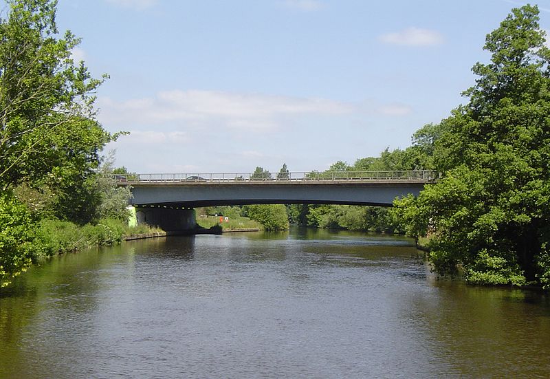
Isis Bridge is a modern road bridge across the River Thames just south of Oxford, England. It carries the Oxford Ring Road, part of the A423 road, across the Thames on the reach between Sandford Lock and Iffley Lock. ()
Opened: 1965 (61 years ago)Coordinates: 51°43'30"N, 1°14'30"W
Address
Oxford
ContactAdd
Social media
Add
Day trips
Isis Bridge – popular in the area (distance from the attraction)
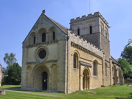
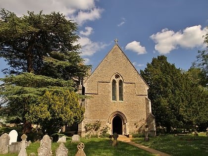
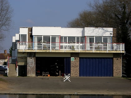
Nearby attractions include: Templars Square, St. Mary the Virgin Church, Church of St Mary and St Nicholas, City of Oxford Rowing Club.
Frequently Asked Questions (FAQ)
Which popular attractions are close to Isis Bridge?
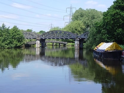
Nearby attractions include St. Mary the Virgin Church, Oxford (6 min walk), Kennington Railway Bridge, Oxford (7 min walk), Iffley Lock, Oxford (8 min walk), Rose Isle, Oxford (13 min walk).
How to get to Isis Bridge by public transport?
The nearest stations to Isis Bridge:
Bus
Bus
- Heyford Hill, Sainsburys • Lines: X39, X40 (13 min walk)
- Bertie Place • Lines: S8 (15 min walk)


