Mynydd Allt-y-grug
Map

Map

Facts and practical information
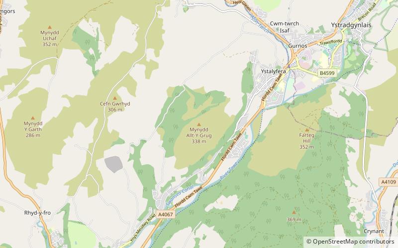
Mynydd Allt-y-grug is a 338-metre-high hill immediately west of Ystalyfera in the county borough of Neath Port Talbot in South Wales. Its twin summits are around 400m apart. The upper part of the hill is largely covered in heather whilst conifers clothe its western slopes and gorse, bracken and bramble cover much of its rough landslipped eastern side which rises above the Swansea Valley, drainage on this side flowing to the River Tawe. ()
Elevation: 1109 ftProminence: 623 ftCoordinates: 51°45'22"N, 3°48'40"W
Location
Wales
ContactAdd
Social media
Add
Day trips
Mynydd Allt-y-grug – popular in the area (distance from the attraction)
Nearby attractions include: Melincourt Falls, Cefn Coed Colliery Museum, Wales Ape and Monkey Sanctuary, Aberdulais Golf Range & Academy.


