Penlle'r Castell, Swansea
#79 among attractions in Swansea


Facts and practical information
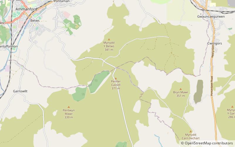
Penlle'r Castell is an historic ruin on the summit of Mynydd y Betws in the far north of the City and County of Swansea. The Penlle'r Castell site was probably a late 13th-century stronghold garrisoned by one of the Marcher Lords. ()
MawrSwansea United Kingdom
Penlle'r Castell – popular in the area (distance from the attraction)
Nearby attractions include: Pontardawe Arts Centre, Gellionnen Chapel, All Saints Church, Tair Carn Uchaf.
 Concerts and shows, Performing arts, Comedy club
Pontardawe Arts Centre, Pontardawe
128 min walk • Pontardawe Arts Centre is a multi-purpose cultural venue in Pontardawe, Neath Port Talbot, Wales. The building is owned by Neath Port Talbot County Borough Council and is located in Herbert Street. The Arts Centre opened in October 1996.
 Church
Gellionnen Chapel, Swansea
103 min walk • Gellionnen Chapel is a Unitarian place of worship near Pontardawe, South Wales, United Kingdom. The chapel was first built in 1692 by Protestant dissenters, becoming Unitarian in the late 18th century. It is a member of the General Assembly of Unitarian and Free Christian Churches, the umbrella body for British Unitarians.
 Church, Gothic Revival architecture
All Saints Church, Ammanford
75 min walk • All Saints Church, Ammanford is an Anglican parish church in the town of Ammanford, Carmarthenshire, Wales. It was erected between 1911 and 1915 by W. D. Jenkins of Llandeilo. The tower was added between 1924 and 1926 as a war memorial, this time the architect being Charles Mercer of Swansea.
 Nature, Natural attraction, Mountain
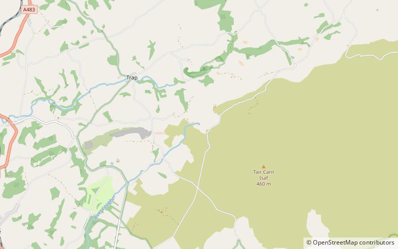
Tair Carn Uchaf, Brecon Beacons
117 min walk • Tair Carn Uchaf is a hill in the Brecon Beacons National Park in the county of Carmarthenshire, Wales. Its summit sits atop a plateau-like ridge at 482 metres above sea level and is marked by one of the three huge cairns which give the mountain its name.
 Nature, Natural attraction, Mountain
Garreg Lwyd, Brecon Beacons
177 min walk • Garreg Lwyd, also known as Moel Gornach, is a peak in the Black Mountain of the Brecon Beacons, South Wales. It is a subsidiary summit of Fan Brycheiniog. It is the westernmost area over 2,000 feet above sea level in South Wales.
 Nature, Natural attraction, Mountain
Foel Fraith, Brecon Beacons
199 min walk • Foel Fraith is a hill in the Black Mountain in the county of Carmarthenshire, southwest Wales. It lies within the Brecon Beacons National Park and Fforest Fawr Geopark. Its plateau-like summit attains a height of 602 metres above sea level.
 Nature, Natural attraction, Mountain
Mynydd y Betws
5 min walk • Mynydd y Betws is a mountain or large hill located on the border between Swansea and Carmarthenshire in South Wales, between Ammanford and Clydach. It is an area of upland with large stretches of tussocky grassland.
 Nature, Natural attraction, Cave
Llygad Llwchwr, Brecon Beacons
130 min walk • Llygad Llwchwr is a 1.2 km-long cave system in the Black Mountain which forms the westernmost range of the Brecon Beacons National Park in Wales.
 Nature, Natural attraction, Mountain
Carreg Dwfn, Brecon Beacons
123 min walk • Carreg Dwfn is a hill four miles southeast of Llandeilo and just to the south of the village of Trap in the county of Carmarthenshire, south Wales. It lies at the western extremity of the Brecon Beacons National Park and Fforest Fawr Geopark. Its summit at 283 metres is towards the eastern end of a rocky east-west-aligned ridge.

 Nature, Natural attraction, Mountain
Mynydd Allt-y-grug
138 min walk • Mynydd Allt-y-grug is a 338-metre-high hill immediately west of Ystalyfera in the county borough of Neath Port Talbot in South Wales. Its twin summits are around 400m apart.
