Battersea Bridge, London
Map
Gallery
Facts and practical information
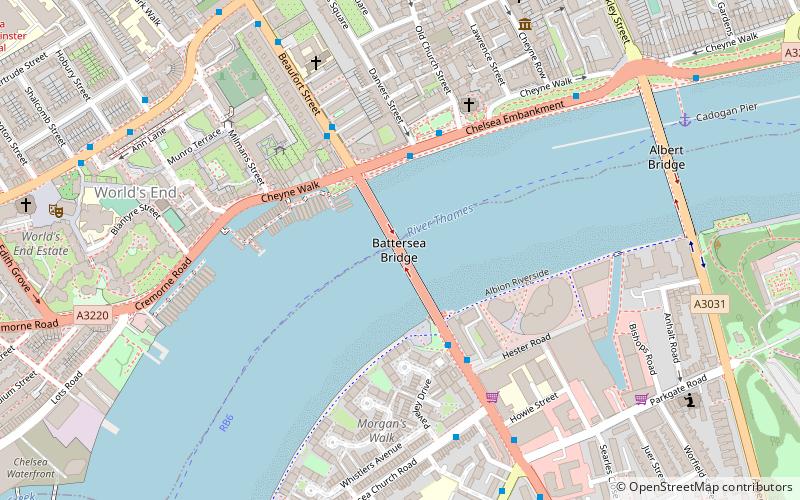
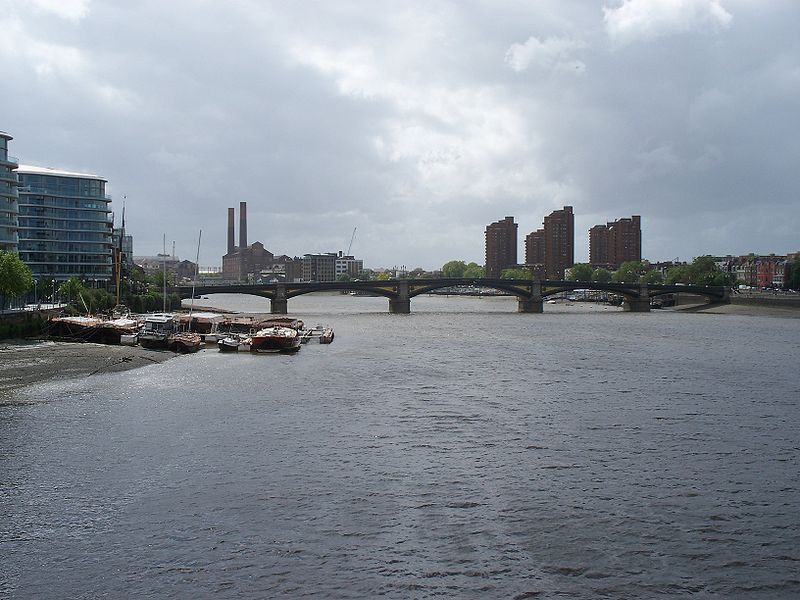
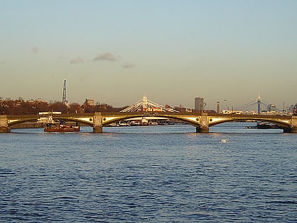
Battersea Bridge is a five-span arch bridge with cast-iron girders and granite piers crossing the River Thames in London, England. It is situated on a sharp bend in the river, and links Battersea south of the river with Chelsea to the north. The bridge replaced a ferry service that had operated near the site since at least the middle of the 16th century. ()
Alternative names: Opened: 21 July 1890 (135 years ago)Length: 725 ftWidth: 40 ftCoordinates: 51°28'52"N, 0°10'21"W
Address
Wandsworth (St. Mary's Park)London
ContactAdd
Social media
Add
Day trips
Battersea Bridge – popular in the area (distance from the attraction)
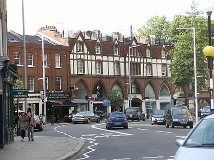
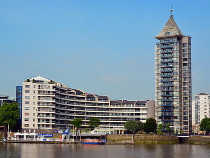
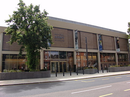
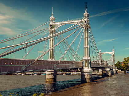
Nearby attractions include: King's Road, Chelsea Harbour, National Army Museum, Albert Bridge.
Frequently Asked Questions (FAQ)
Which popular attractions are close to Battersea Bridge?
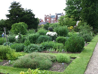
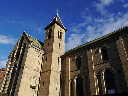
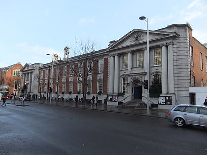
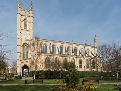
Nearby attractions include Chelsea Old Church, London (4 min walk), Couper Collection, London (4 min walk), Moravian Burial Ground, London (6 min walk), Carlyle's House, London (7 min walk).
How to get to Battersea Bridge by public transport?
The nearest stations to Battersea Bridge:
Bus
Ferry
Train
Metro
Bus
- Battersea Bridge • Lines: 170, 19, 319, 345, 49, N19, N31 (3 min walk)
- Beaufort Street • Lines: 170 (3 min walk)
Ferry
- Cadogan Pier • Lines: Rb6 (8 min walk)
- Chelsea Harbour Pier • Lines: Rb6 (15 min walk)
Train
- Imperial Wharf (16 min walk)
- Battersea Park (28 min walk)
Metro
- South Kensington • Lines: Circle, District, Piccadilly (23 min walk)
- Fulham Broadway • Lines: District (25 min walk)
 Tube
Tube