King's Road, London
Facts and practical information
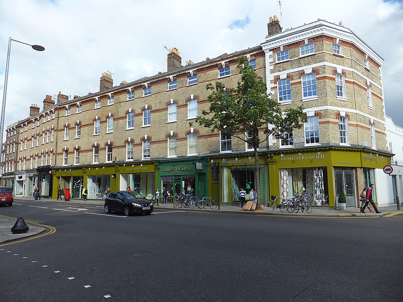
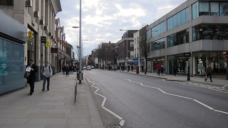
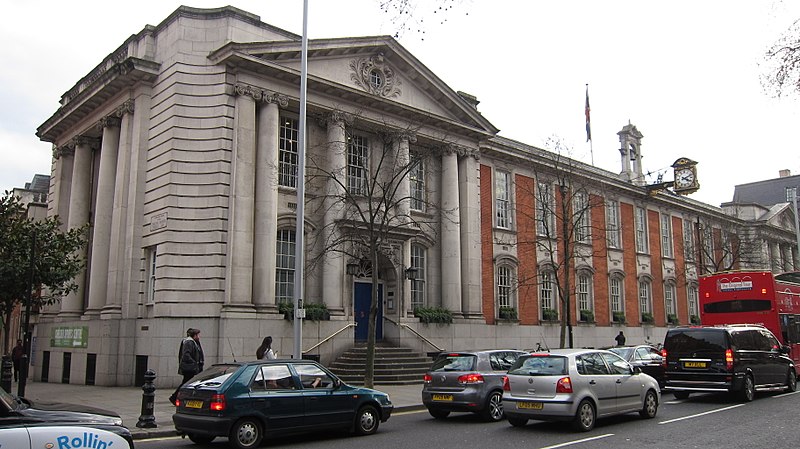
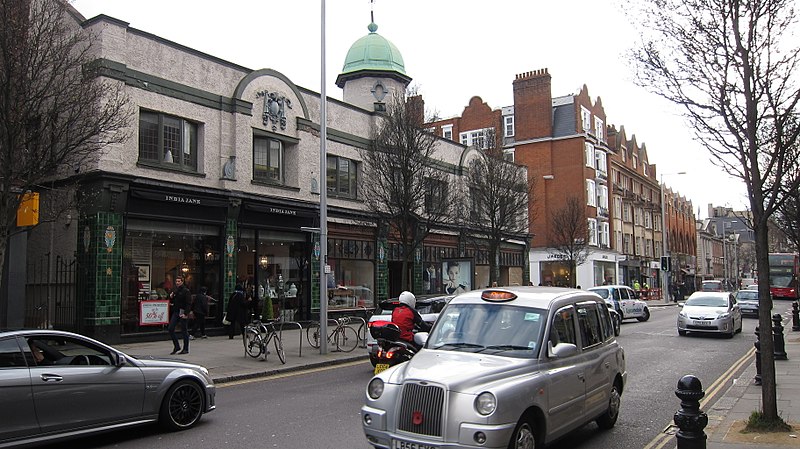
King's Road, a vibrant thoroughfare in the heart of Chelsea, London, stands as a beacon of British culture and history. This iconic London street, extending from Sloane Square in the east to Lots Road in the west, has been an influential fashion and shopping destination since the 1960s.
Originally a private road used by King Charles II to travel to Kew, King's Road became public in the 1830s. It was during the swinging sixties that the road truly came into its own as a cultural hotspot, with boutiques like Mary Quant's Bazaar leading the way in the fashion revolution. It was here that the miniskirt was born, and the Mods and Rockers defined their iconic styles.
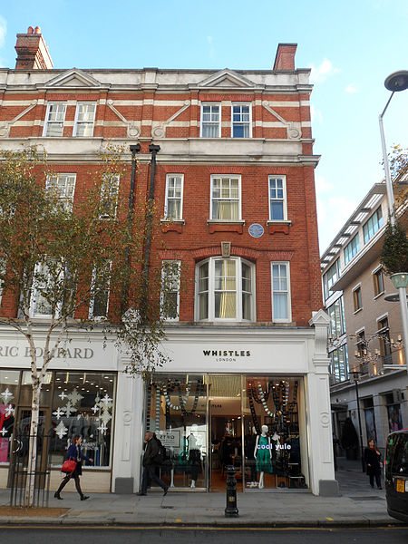
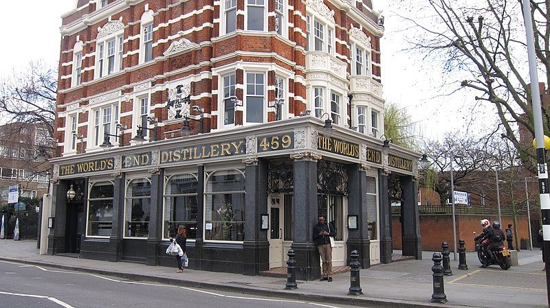
Today, King's Road continues to offer a unique shopping experience with a blend of high-end boutiques, independent shops, and well-known brands. It's a place where luxury and bohemian charm coexist, creating an atmosphere that's both sophisticated and relaxed. The road is also dotted with a variety of eateries, from artisan cafes to fine dining restaurants, reflecting London's diverse culinary scene.
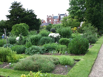
Visitors can also enjoy a touch of greenery at the nearby Chelsea Physic Garden or take a stroll along the Saatchi Gallery for a dose of contemporary art. The Royal Court Theatre offers thought-provoking plays for those interested in the performing arts.
King's RdKensington and Chelsea (Chelsea)London
King's Road – popular in the area (distance from the attraction)
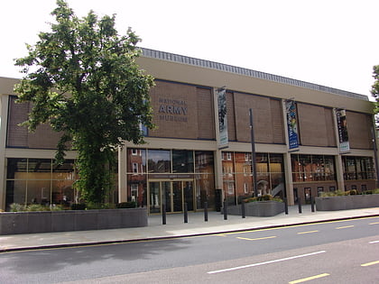
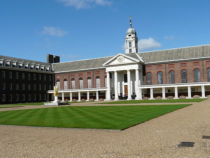
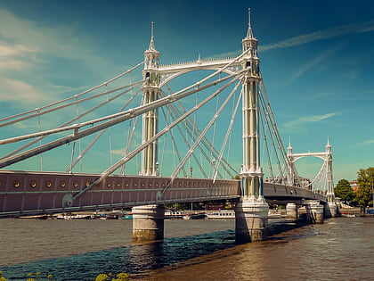
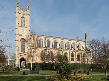
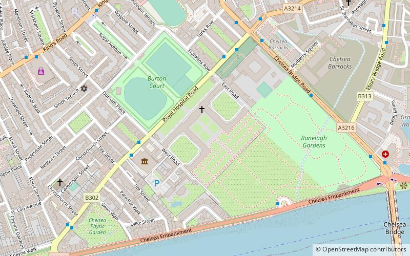
Nearby attractions include: Saatchi Gallery, National Army Museum, Royal Hospital, Albert Bridge.
Frequently Asked Questions (FAQ)
Which popular attractions are close to King's Road?
How to get to King's Road by public transport?
Bus
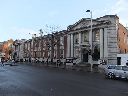
- Sydney Street / Chelsea Old Town Hall • Lines: 211, 49 (1 min walk)
- Chelsea Old Town Hall • Lines: 11, 19, 211, 22, 319, N11, N19, N22 (2 min walk)
Ferry
- Cadogan Pier • Lines: Rb6 (9 min walk)
- Battersea Power Station Pier • Lines: Rb1, Rb2, Rb6 (26 min walk)
Metro
- South Kensington • Lines: Circle, District, Piccadilly (13 min walk)
- Sloane Square (17 min walk)
Train
- Imperial Wharf (27 min walk)
- Battersea Park (29 min walk)


 Tube
Tube
