Bell's Bridge, Glasgow
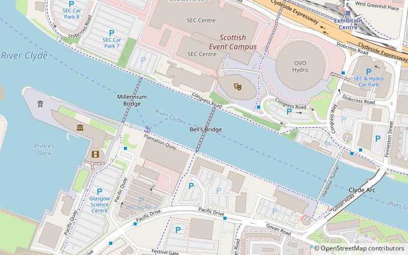
Map

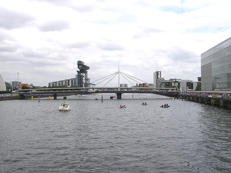
Gallery

Facts and practical information
Bell's Bridge is a pedestrian bridge spanning the River Clyde in Glasgow, Scotland. A swivelling swing bridge, it was constructed in 1988 to coincide with the Glasgow Garden Festival, it allowed pedestrians to cross from the main exhibition site to the Scottish Exhibition and Conference Centre on the other side of the river. ()
Coordinates: 55°51'31"N, 4°17'21"W
Address
South Side (Kinning Park)Glasgow
ContactAdd
Social media
Add
Day trips
Bell's Bridge – popular in the area (distance from the attraction)
Nearby attractions include: Kelvingrove Art Gallery and Museum, Riverside Museum, Ibrox Stadium, Glasgow University Union.
Frequently Asked Questions (FAQ)
Which popular attractions are close to Bell's Bridge?
Nearby attractions include Pacific Quay, Glasgow (2 min walk), BBC Scotland, Glasgow (3 min walk), SEC Armadillo, Glasgow (3 min walk), SEC Centre, Glasgow (3 min walk).
How to get to Bell's Bridge by public transport?
The nearest stations to Bell's Bridge:
Bus
Train
Metro
Bus
- Finnieston, Congress Road/ Conference Centre • Lines: c1 (3 min walk)
- Argyle Street / Berkeley Street • Lines: 2 (12 min walk)
Train
- Exhibition Centre (8 min walk)
- Anderston (19 min walk)
Metro
- Cessnock • Lines: Subway (13 min walk)
- Kinning Park • Lines: Subway (15 min walk)


