Moel y Gydros
Map

Map

Facts and practical information
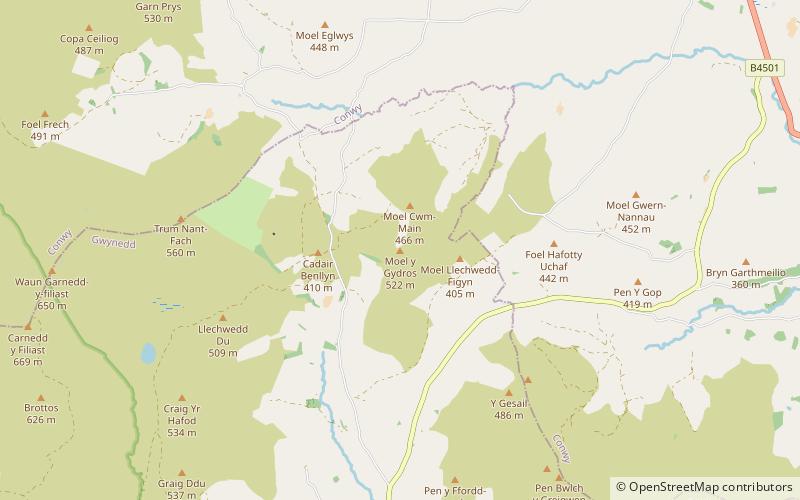
Moel y Gydros is a hill located just outside the Snowdonia National Park on the Gwynedd / Conwy border in North Wales. The B4501, Frongoch to Cerrigydrudion road skirts the hills lower slopes. ()
Elevation: 1714 ftProminence: 476 ftCoordinates: 52°59'41"N, 3°37'9"W
Location
Wales
ContactAdd
Social media
Add
Day trips
Moel y Gydros – popular in the area (distance from the attraction)
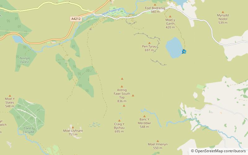
Nearby attractions include: Arenig Fawr, Alwen Reservoir, Foel Goch, Llyn Arenig Fawr.


