Bentley Crewe, Crewe
Map

Map

Facts and practical information
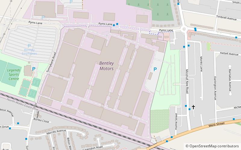
Bentley Crewe, also named the Pyms Lane site after the street it is located on; is the headquarters and design and manufacturing centre of Bentley Motors Limited on the outskirts of Crewe, Cheshire, England. The site covers an area of 521,111 m2, of which 166,930 m2 is indoors. ()
Coordinates: 53°6'15"N, 2°28'20"W
Day trips
Bentley Crewe – popular in the area (distance from the attraction)
Nearby attractions include: Queens Park, St Barnabas' Church, St Mary's Church, St Michael's Church.
Frequently Asked Questions (FAQ)
Which popular attractions are close to Bentley Crewe?
Nearby attractions include St Barnabas' Church, Crewe (11 min walk), Clock Tower, Crewe (12 min walk), Boer War Memorial, Crewe (14 min walk), Queens Park, Crewe (14 min walk).


