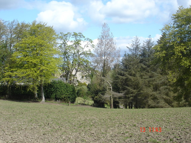
Bridge Castle

Gallery (2)
Map
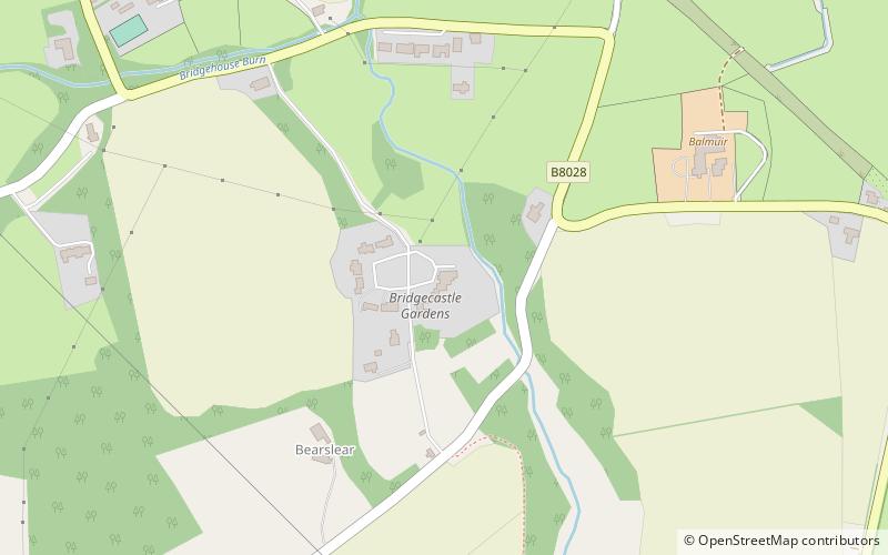
Map
Gallery
Facts and practical information
Bridge Castle is an L-plan castle, dating from the 16th century, standing on a rocky site 3 miles north west of Bathgate in West Lothian, Scotland, on the west of the Barbauchlaw Burn. The former name of the castle was Little Brighouse. ()
Coordinates: 55°55'12"N, 3°41'31"W
Location
Scotland
ContactAdd
Social media
Add
Day trips


