Bidston Hill, Liverpool
Map
Gallery
Facts and practical information
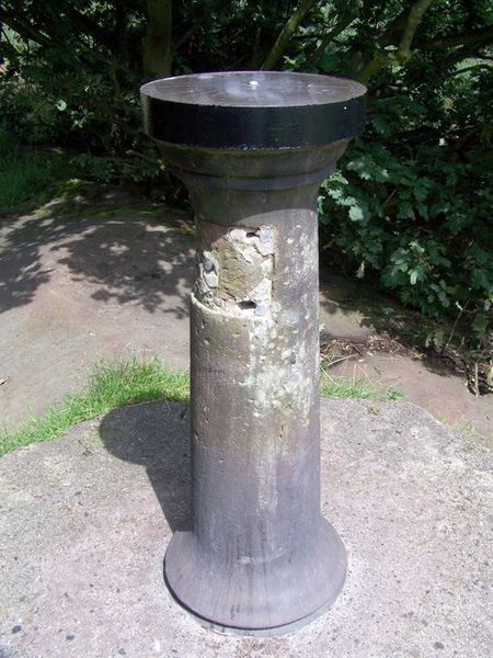
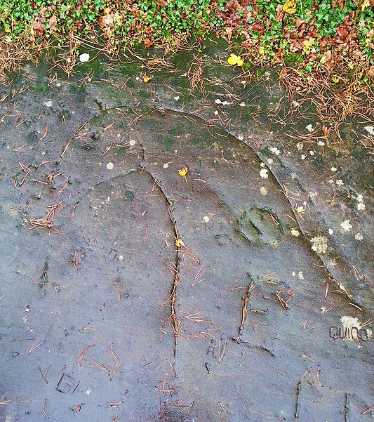
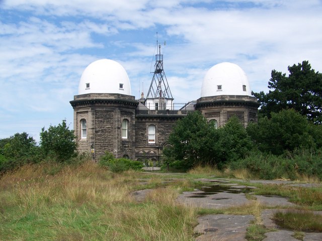
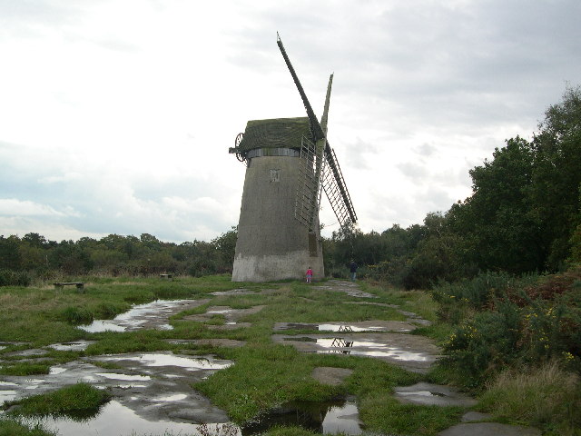
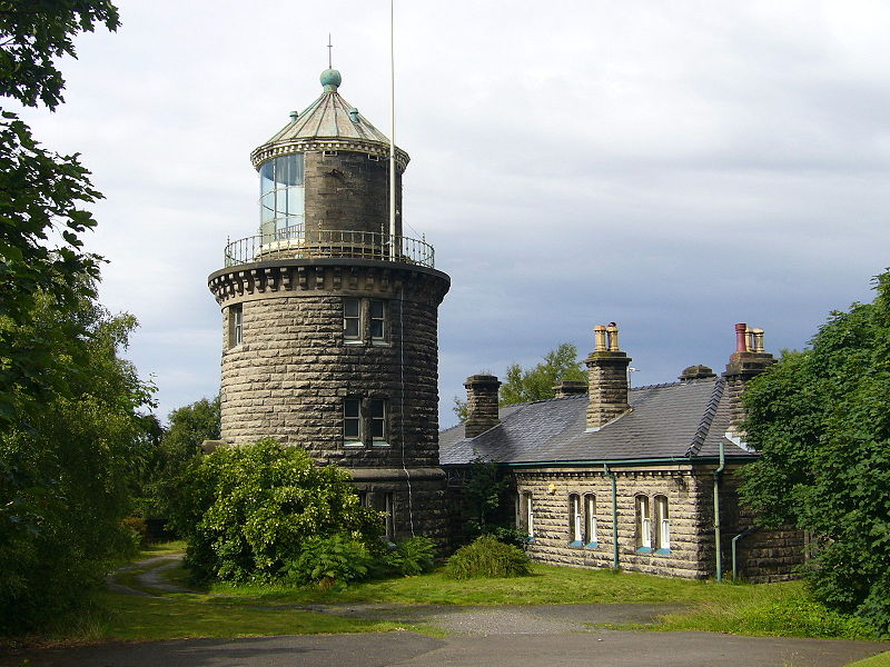
Bidston Hill is 100 acres of heathland and woodland that contains historic buildings and ancient rock carvings. It is on the Wirral Peninsula, near the Birkenhead suburb of Bidston, in Merseyside, England. With a peak of 231 feet, Bidston Hill is one of the highest points on the Wirral. The land was part of Sir Robert Vyner's estate and purchased by Birkenhead Corporation in 1894 for use by the public. ()
Elevation: 197 ft a.s.l.Coordinates: 53°23'49"N, 3°4'30"W
Address
Liverpool
ContactAdd
Social media
Add
Day trips
Bidston Hill – popular in the area (distance from the attraction)
Nearby attractions include: Bidston Windmill, Flaybrick Memorial Gardens, St Oswald's Church, St James' Church.
Frequently Asked Questions (FAQ)
Which popular attractions are close to Bidston Hill?
Nearby attractions include Bidston Windmill, Liverpool (2 min walk), Bidston, Liverpool (8 min walk), Flaybrick Memorial Gardens, Greasby (12 min walk), St Oswald's Church, Liverpool (14 min walk).
How to get to Bidston Hill by public transport?
The nearest stations to Bidston Hill:
Train
Train
- Upton (21 min walk)
- Bidston (23 min walk)


