Woolwich, London
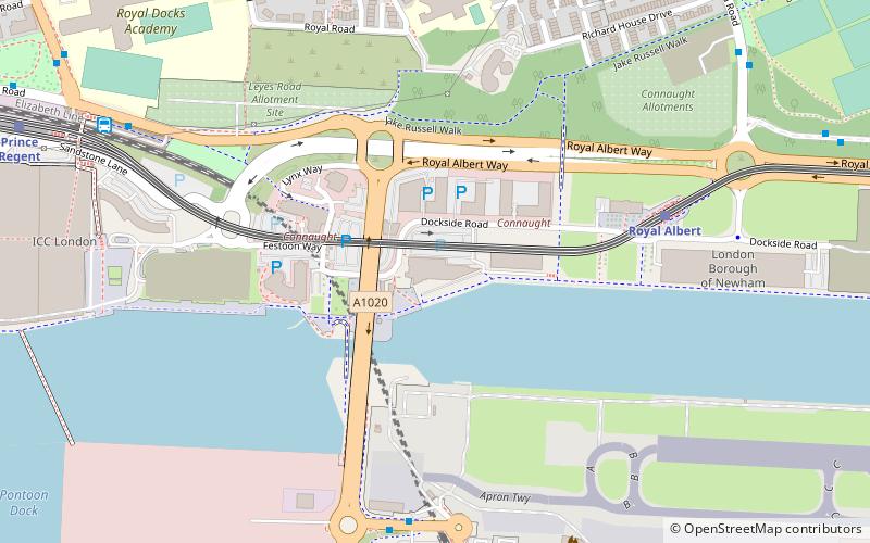
Map
Gallery
Facts and practical information
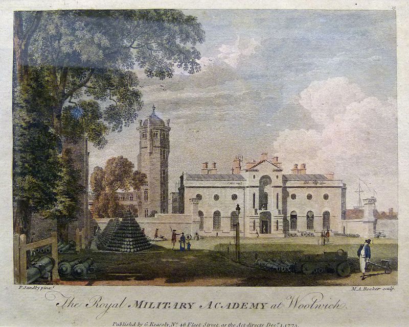
Woolwich is a district in southeast London, England, within the Royal Borough of Greenwich. ()
Address
Greenwich (Woolwich Riverside)London
ContactAdd
Social media
Add
Day trips
Woolwich – popular in the area (distance from the attraction)
Nearby attractions include: Powis Street, London Regatta Centre, Royal Artillery Museum, University of East London Docklands Campus.
Frequently Asked Questions (FAQ)
Which popular attractions are close to Woolwich?
Nearby attractions include Royal Artillery Museum, London (5 min walk), Royal Arsenal, London (9 min walk), New Wine Church, London (10 min walk), St Mary Magdalene Woolwich, London (11 min walk).
How to get to Woolwich by public transport?
The nearest stations to Woolwich:
Ferry
Bus
Light rail
Train
Ferry
- Woolwich Arsenal Pier • Lines: Rb1, Rb5 (4 min walk)
- Woolwich Ferry South Pier • Lines: Woolwich Free Ferry (7 min walk)
Bus
- North Woolwich Ferry • Lines: 473, 474 (9 min walk)
- Plumstead Road / Woolwich Public Market • Lines: 122, 244, 291, 380, 422, 469, 54 (10 min walk)
Light rail
- Woolwich Arsenal Platform 3 • Lines: B-Wa, Si-Wa (11 min walk)
- King George V Platform 2 • Lines: B-Wa, Si-Wa (13 min walk)
Train
- Woolwich Arsenal (12 min walk)
- Woolwich Dockyard (17 min walk)



 Tube
Tube
