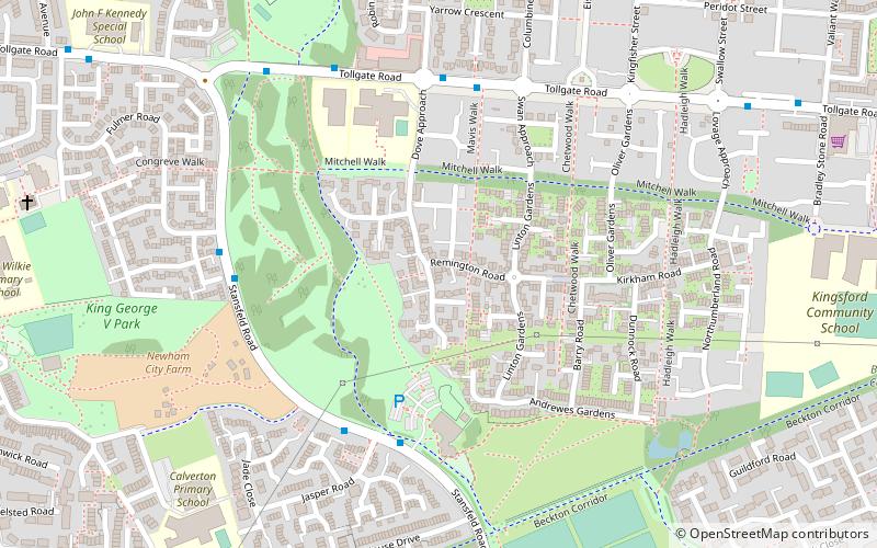
Beckton District Park, London
Map
Facts and practical information
Beckton District Park is a public park in Beckton in the London Borough of Newham. Together with King George V Park, it forms Beckton District Park and Newham City Farm, a Site of Borough Importance for Nature Conservation, Grade II. ()
Elevation: 10 ft a.s.l.Coordinates: 51°30'51"N, 0°2'47"E
Address
Newham (Custom House)London
ContactAdd
Social media
Add
Getting there by public transportation
Public transportation stops near this location
- Bus
- Light rail
- Ferry
 Bus
Bus
- Calculate routeWill Thorne Pavilion 4 min walk
- Calculate routeDove Approach 5 min walk
- Calculate routeFulmer Road 5 min walk
- Calculate routeBeckton District Park 6 min walk
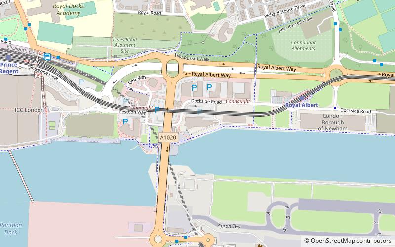
- Calculate routeRoyal Albert Platform 1 10 min walk
- Calculate routeBeckton Park Platform 1 14 min walk
- Calculate routeWoolwich Ferry North Pier 33 min walk
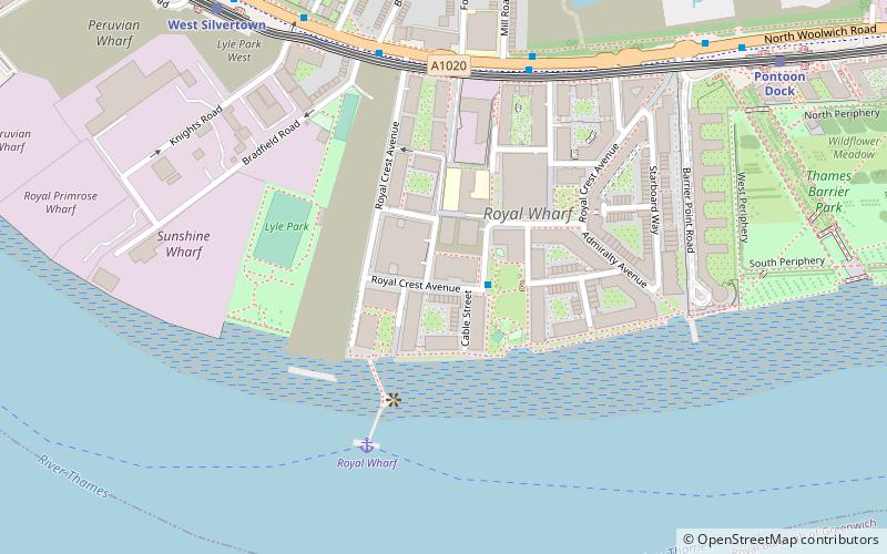
- Calculate routeRoyal Wharf 38 min walk
Maps Tube
Tube
TubeDay trips


Frequently Asked Questions (FAQ)
How to get to Beckton District Park by public transport?
The nearest stations to Beckton District Park:
Bus
Light rail
Ferry
Bus
- Will Thorne Pavilion • Lines: 300, 376 (4 min walk)
- Dove Approach • Lines: 262, 300, N551 (5 min walk)
Light rail
- Royal Albert Platform 1 • Lines: Tg-B (10 min walk)
- Beckton Park Platform 1 • Lines: Tg-B (14 min walk)
Ferry
- Woolwich Ferry North Pier • Lines: Woolwich Free Ferry (33 min walk)
- Royal Wharf • Lines: Rb1, Rb5 (38 min walk)