Black Country Urban Forest, Dudley
Map
Facts and practical information
The Black Country Urban Forest is a project to make urban forestry the characteristic landscape of one of England's industrial areas, The Black Country. ()
Coordinates: 52°31'48"N, 2°4'48"W
Address
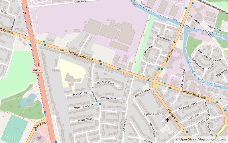
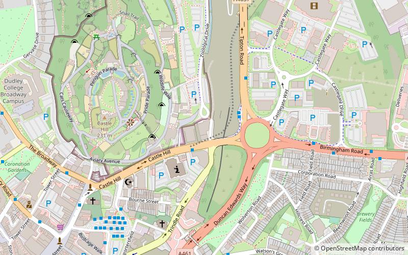
Dudley (Castle and Priory)Dudley
ContactAdd
Social media
Add
Getting there by public transportation
Public transportation stops near this location
- Bus
- Train
 Bus
Bus
- Calculate routeSedgley Road West / The Pie Factory 1 min walk
- Calculate routeTipton 16 min walk
- Calculate routeCoseley 28 min walk
Day trips


Frequently Asked Questions (FAQ)
Which popular attractions are close to Black Country Urban Forest?
Nearby attractions include Boat Gauging House, Dudley (8 min walk), BCN Main Line, Wolverhampton (9 min walk), Tipton Green, Dudley (11 min walk), Tipton, Dudley (14 min walk).
How to get to Black Country Urban Forest by public transport?
The nearest stations to Black Country Urban Forest:
Bus
Train
Bus
- Sedgley Road West / The Pie Factory • Lines: 229 (1 min walk)
Train
- Tipton (16 min walk)
- Coseley (28 min walk)