Blackleach Country Park, Manchester
Map

Map

Facts and practical information
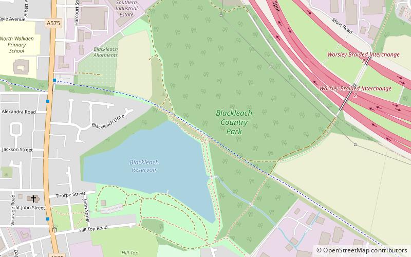
Blackleach Country Park is a country park in Walkden, Greater Manchester. It is situated half a mile from the town centre just off Bolton Road in the Hill Top area. It is a Local Nature Reserve and a winner of the Green Flag Award. ()
Elevation: 335 ft a.s.l.Coordinates: 53°31'56"N, 2°23'38"W
Address
Salford (Walkden North)Manchester
ContactAdd
Social media
Add
Day trips
Blackleach Country Park – popular in the area (distance from the attraction)
Nearby attractions include: St John the Evangelist's Church, Kearsley, Farnworth Little Theatre, Farnworth.
Frequently Asked Questions (FAQ)
Which popular attractions are close to Blackleach Country Park?
Nearby attractions include Linnyshaw, Tyldesley (14 min walk), Walkden, Manchester (16 min walk).
How to get to Blackleach Country Park by public transport?
The nearest stations to Blackleach Country Park:
Bus
Train
Bus
- High Street/Walkden Centre • Lines: 29 (17 min walk)
- Manchester Road East/Tynesbank • Lines: 29 (17 min walk)
Train
- Walkden (23 min walk)
- Kearsley (29 min walk)

 Metrolink
 Metrolink / Rail


