Linnyshaw, Tyldesley
Map
Facts and practical information
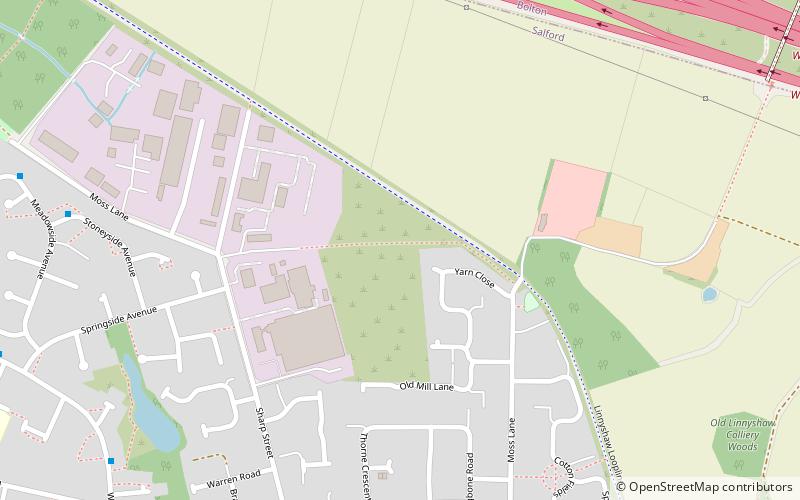
Linnyshaw is an area of Walkden, a town in the City of Salford district of Greater Manchester, England. Historically within Lancashire, it lies to the east of Walkden, immediately south of junction 2 of the M61 motorway. The area is predominantly moss and there is a very small population. Linnyshaw lies entirely within the Walkden North council ward and within the Worsley parliamentary constituency. It is bordered by Kearsley to the north and Wardley to the east. ()
Coordinates: 53°31'40"N, 2°23'2"W
Address
Salford (Walkden North)Tyldesley
ContactAdd
Social media
Add
Getting there by public transportation
Public transportation stops near this location
- Bus
- Train
 Bus
Bus
- Calculate routeOld Clough Lane/Manchester Road 9 min walk
- Calculate routeManchester Road/Linnyshaw Mount 13 min walk
- Calculate routeMemorial Road/Walkden Library 18 min walk
- Calculate routeWalkden 19 min walk
- Calculate routeKearsley 31 min walk
Day trips


Frequently Asked Questions (FAQ)
Which popular attractions are close to Linnyshaw?
Nearby attractions include Blackleach Country Park, Manchester (14 min walk), Walkden, Manchester (18 min walk), Kearsley, Manchester (23 min walk).
How to get to Linnyshaw by public transport?
The nearest stations to Linnyshaw:
Bus
Train
Bus
- Old Clough Lane/Manchester Road • Lines: 29 (9 min walk)
- Manchester Road/Linnyshaw Mount • Lines: 29 (13 min walk)
Train
- Walkden (19 min walk)
- Kearsley (31 min walk)