Bristol Harbour Railway, Bristol
Map
Gallery
Facts and practical information
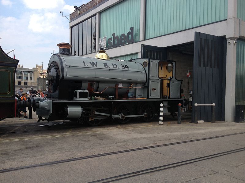
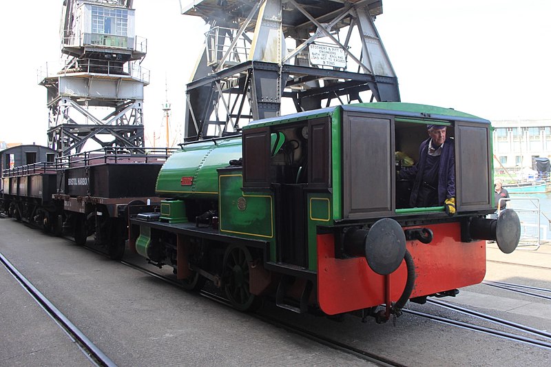
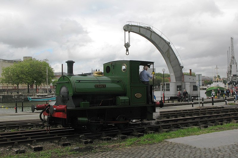
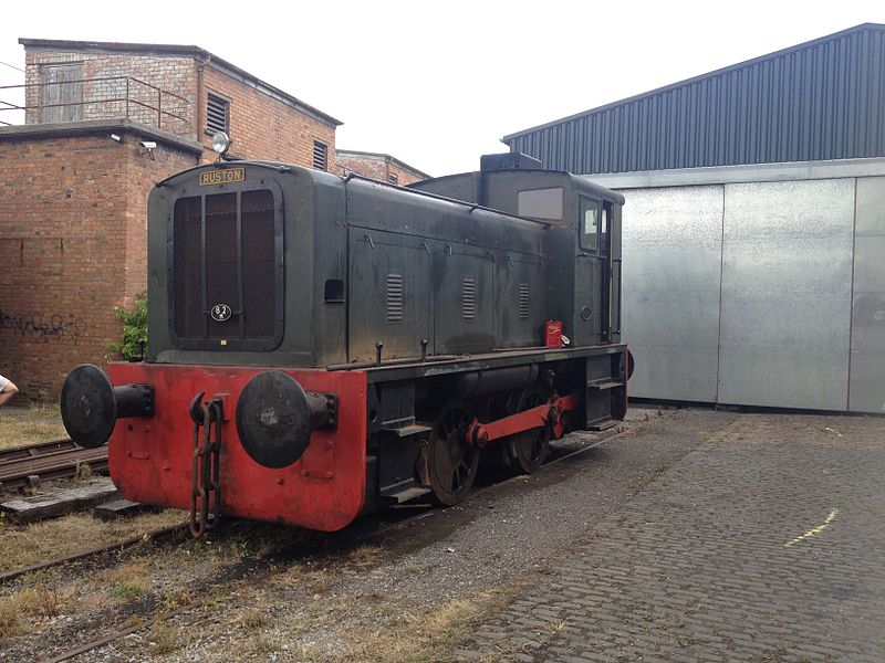
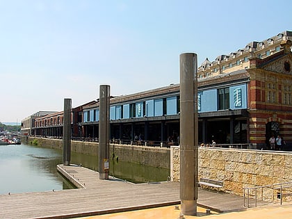
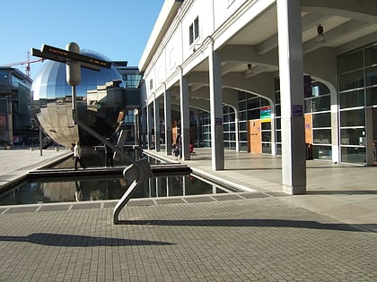
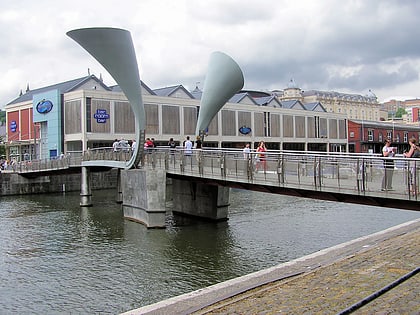
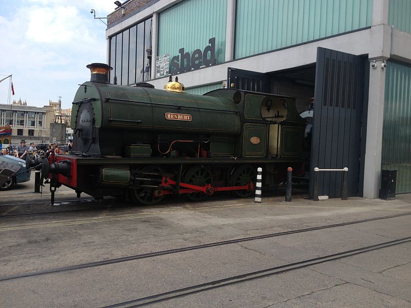
The Bristol Harbour Railway was a standard-gauge industrial railway that served the wharves and docks of Bristol, England. The line, which had a network of approximately 5 mi of track, connected the Floating Harbour to the GWR mainline at Bristol Temple Meads. Freight could be transported directly by waggons to Paddington Station in London. The railway officially closed in 1964. ()
Coordinates: 51°26'54"N, 2°35'49"W
Address
CabotBristol
ContactAdd
Social media
Add
Day trips
Bristol Harbour Railway – popular in the area (distance from the attraction)
Nearby attractions include: M Shed, Arnolfini, Bristol Cathedral, Redcliffe Caves.
Frequently Asked Questions (FAQ)
Which popular attractions are close to Bristol Harbour Railway?
Nearby attractions include Arnolfini, Bristol (2 min walk), M Shed, Bristol (2 min walk), Fire-float Pyronaut, Bristol (3 min walk), Bristol Industrial Museum, Bristol (3 min walk).
How to get to Bristol Harbour Railway by public transport?
The nearest stations to Bristol Harbour Railway:
Ferry
Train
Bus
Ferry
- Prince Street Bridge • Lines: Hotwells-Centre (1 min walk)
- Millennium Square • Lines: Hotwells-Centre (3 min walk)
Train
- Princes Wharf (1 min walk)
- SS Great Britain (10 min walk)
Bus
- Queen Square • Lines: m2 (5 min walk)
- Wapping Wharf • Lines: m2 (6 min walk)


