St Giles' Church, London
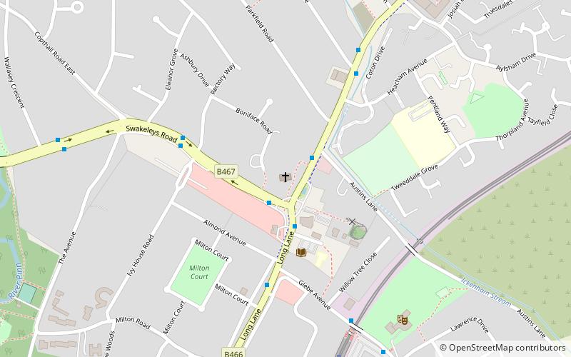
Map

Gallery

Facts and practical information
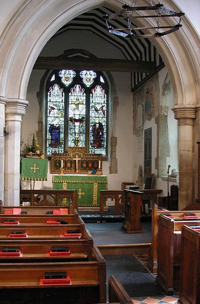
St. Giles' Church is a church in Ickenham, within the London Borough of Hillingdon in England. ()
Coordinates: 51°33'54"N, 0°26'38"W
Day trips
St Giles' Church – popular in the area (distance from the attraction)
Nearby attractions include: Compass Theatre, St Martin's Church, Ickenham Marsh, Swakeleys House.
Frequently Asked Questions (FAQ)
Which popular attractions are close to St Giles' Church?
Nearby attractions include Ickenham, London (1 min walk), Compass Theatre, London (7 min walk), Swakeleys House, London (13 min walk), Ickenham Marsh, London (21 min walk).
How to get to St Giles' Church by public transport?
The nearest stations to St Giles' Church:
Bus
Metro
Bus
- Ickenham Pump • Lines: U1 (1 min walk)
- Austins Lane • Lines: 278, U1, U10 (2 min walk)
Metro
- Ickenham • Lines: Metropolitan, Piccadilly (7 min walk)
- West Ruislip • Lines: Central (11 min walk)

 Tube
Tube


