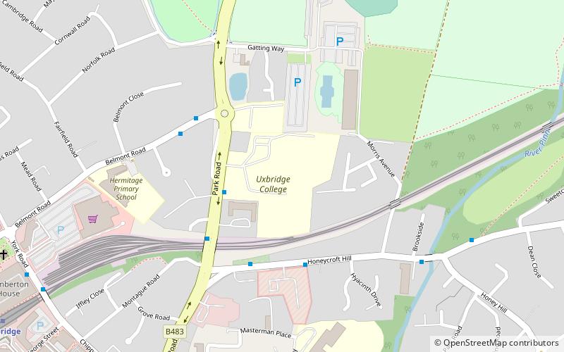
Uxbridge College, London
Map

Map

Facts and practical information
Uxbridge College is a large general further education college in the London Borough of Hillingdon. Since 2017 the college has been merged with Harrow College, although it retains its individual identity. It has two campuses, in Uxbridge and in Hayes. Harrow College & Uxbridge College jointly had over 7,900 learners as of 2019, the majority of which were on 16-19 study programmes and a majority based at the Uxbridge campus. ()
Coordinates: 51°32'58"N, 0°28'9"W
Day trips
Uxbridge College – popular in the area (distance from the attraction)
Nearby attractions include: intu Uxbridge, The Pavilions, Battle of Britain Bunker, Compass Theatre.
Frequently Asked Questions (FAQ)
Which popular attractions are close to Uxbridge College?
Nearby attractions include Uxbridge College Pond, London (3 min walk), Park Road Pond, London (3 min walk), Hillingdon Sports and Leisure Complex, London (4 min walk), Hillingdon House, London (13 min walk).
How to get to Uxbridge College by public transport?
The nearest stations to Uxbridge College:
Bus
Metro
Bus
- Uxbridge College • Lines: U2 (3 min walk)
- Hillingdon / T.A. Centre • Lines: U2 (3 min walk)
Metro
- Uxbridge • Lines: Metropolitan, Piccadilly (11 min walk)
- Hillingdon • Lines: Metropolitan, Piccadilly (22 min walk)

 Tube
Tube


