Uxbridge Cricket Club Ground, London
Map

Map

Facts and practical information
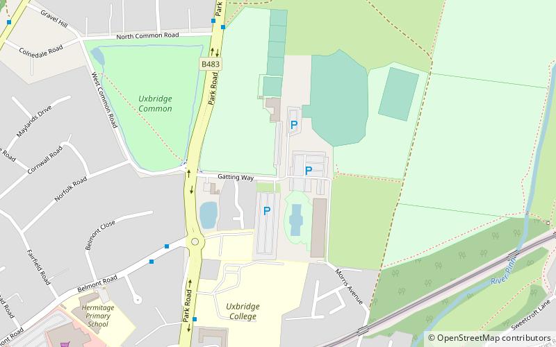
Uxbridge Cricket Ground opened in 1971. Uxbridge Cricket Club moved here after a redevelopment of Uxbridge High Street saw the club move from their Cricketfield Road ground. The present ground is situated across from Uxbridge Common on which the team used to play during the 19th century. ()
Coordinates: 51°33'7"N, 0°28'6"W
Address
Hillingdon (Uxbridge North)London
ContactAdd
Social media
Add
Day trips
Uxbridge Cricket Club Ground – popular in the area (distance from the attraction)
Nearby attractions include: intu Uxbridge, The Pavilions, Battle of Britain Bunker, Compass Theatre.
Frequently Asked Questions (FAQ)
Which popular attractions are close to Uxbridge Cricket Club Ground?
Nearby attractions include Hillingdon Sports and Leisure Complex, London (2 min walk), Uxbridge College Pond, London (3 min walk), Park Road Pond, London (4 min walk), Uxbridge College, London (5 min walk).
How to get to Uxbridge Cricket Club Ground by public transport?
The nearest stations to Uxbridge Cricket Club Ground:
Bus
Metro
Bus
- The Hermitage • Lines: U1, U2 (5 min walk)
- North Common Road • Lines: U1 (6 min walk)
Metro
- Uxbridge • Lines: Metropolitan, Piccadilly (14 min walk)
- Hillingdon • Lines: Metropolitan, Piccadilly (20 min walk)

 Tube
Tube


