Burgh Walls Camp, Leigh Woods National Nature Reserve
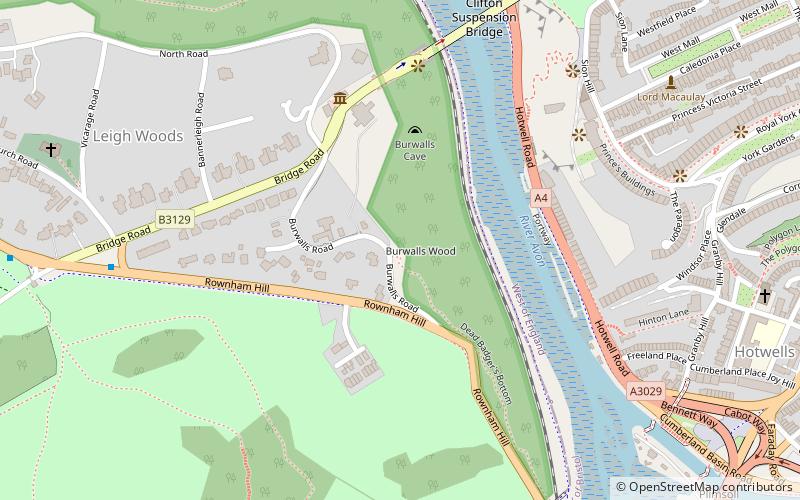
Map
Facts and practical information
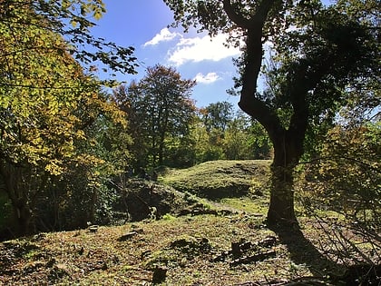
Burgh Walls Camp is a multivallate Iron Age hill fort in the North Somerset district of Somerset, England. The hill fort is situated within Leigh Woods approximately 1.6 miles north-east from the village of Long Ashton near Bristol, above the banks of the River Avon. The hillfort has some alternative names such as Bower Walls Camp, Burwalls, or Bowre Walls. ()
Coordinates: 51°27'7"N, 2°37'46"W
Address
Leigh Woods National Nature Reserve
ContactAdd
Social media
Add
Day trips
Burgh Walls Camp – popular in the area (distance from the attraction)
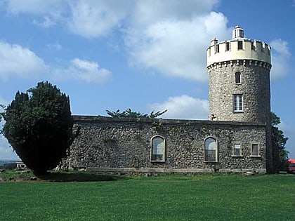
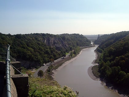
Nearby attractions include: Clifton Suspension Bridge, Clifton Observatory, Avon Gorge, Hydraulic engine house.
Frequently Asked Questions (FAQ)
Which popular attractions are close to Burgh Walls Camp?
Nearby attractions include Cornwallis Crescent, Bristol (6 min walk), Avon Gorge, Bristol (6 min walk), Clifton Suspension Bridge, Bristol (6 min walk), Caledonia Place, Bristol (9 min walk).

