Burrs Country Park, Bury
Map
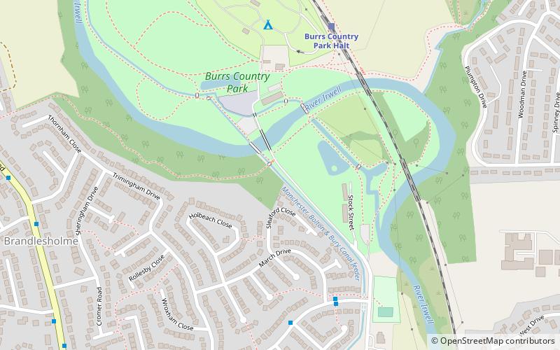
Map

Facts and practical information
Burrs Country Park covers a 36 hectare site on the banks of the River Irwell, 1.5 km north west of Bury, Greater Manchester, England. It was acquired by Bury Metropolitan Borough Council in 1986 and transformed from a derelict industrial site into a modern country park. ()
Created: 1989Elevation: 315 ft a.s.l.Coordinates: 53°36'31"N, 2°18'17"W
Address
Bury
ContactAdd
Social media
Add
Day trips
Burrs Country Park – popular in the area (distance from the attraction)
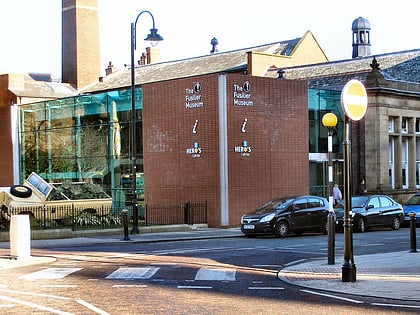
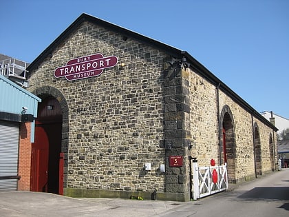
Nearby attractions include: Clarence Park, Bury Market, The Fusilier Museum, Bury Transport Museum.
Frequently Asked Questions (FAQ)
Which popular attractions are close to Burrs Country Park?
Nearby attractions include Castlesteads, Bury (8 min walk), Clarence Park, Bury (20 min walk).
How to get to Burrs Country Park by public transport?
The nearest stations to Burrs Country Park:
Train
Bus
Train
- Burrs Country Park Halt (6 min walk)
- Bury, Bolton Street (29 min walk)
Bus
- Bury Interchange STAND A • Lines: 135 (31 min walk)


