Bury Hebrew Congregation, Manchester
Map

Map

Facts and practical information
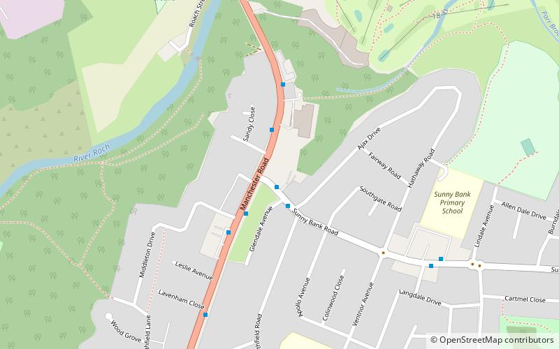
Bury Hebrew Congregation, also known as Bet Knesset Sha'ar HahShamayim is an Orthodox synagogue, serving the Jewish community in the Sunnybank, Unsworth and Hollins area of North Manchester. ()
Coordinates: 53°33'46"N, 2°17'27"W
Address
Manchester
ContactAdd
Social media
Add
Day trips
Bury Hebrew Congregation – popular in the area (distance from the attraction)
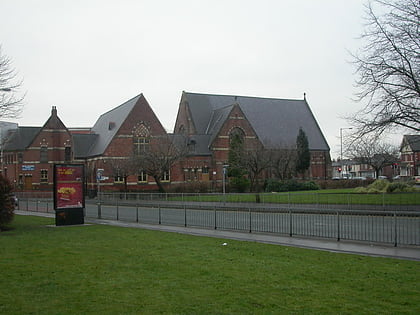
Nearby attractions include: Gigg Lane, Parish Church of St Mary, All Saints' Church, Besses United Reformed Church.
Frequently Asked Questions (FAQ)
Which popular attractions are close to Bury Hebrew Congregation?
Nearby attractions include Parish Church of St Mary, Manchester (19 min walk), Whitefield, Manchester (19 min walk), Sha'arei Shalom, Bury (19 min walk), Radcliffe Tower, Manchester (20 min walk).
How to get to Bury Hebrew Congregation by public transport?
The nearest stations to Bury Hebrew Congregation:
Tram
Tram
- Whitefield • Lines: Altr, Bury, Picc (22 min walk)

 Metrolink
 Metrolink / Rail


