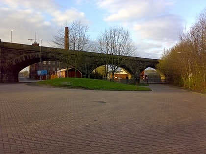
Manchester Bolton & Bury Reservoir, Bury
Map
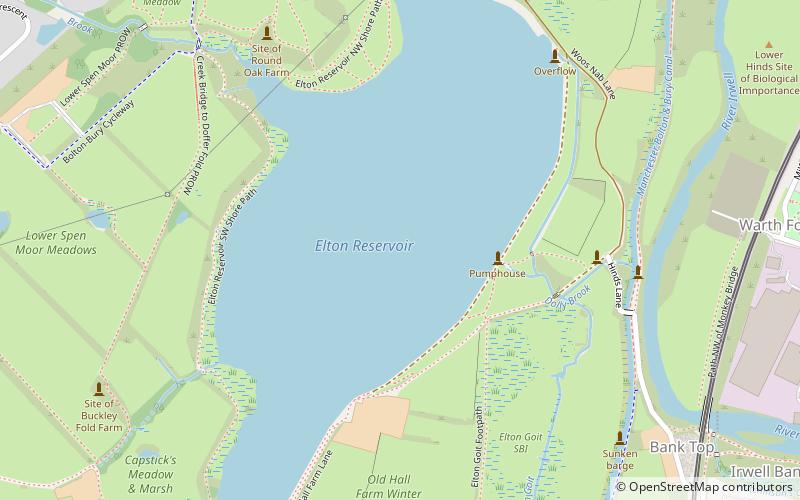
Map

Facts and practical information
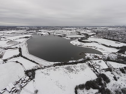
The Manchester Bury & Bolton Reservoir, commonly called Elton Reservoir, is located near the A58 Bolton Road in Greater Manchester, about 3 km south west of the town of Bury. Constructed in 1842 at the height of the canal era, it remains today as legacy of the industrial era and a major leisure facility for residents of Bury, Bolton and North Manchester. ()
Length: 5.84 miWidth: 1575 ftCoordinates: 53°34'48"N, 2°19'9"W
Address
Bury
ContactAdd
Social media
Add
Day trips
Manchester Bolton & Bury Reservoir – popular in the area (distance from the attraction)
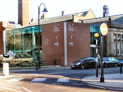
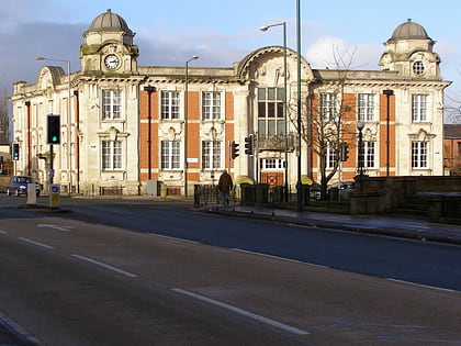
Nearby attractions include: Gigg Lane, Bury Market, The Fusilier Museum, Radcliffe Town Hall.
Frequently Asked Questions (FAQ)
Which popular attractions are close to Manchester Bolton & Bury Reservoir?
Nearby attractions include Daisyfield Viaduct, Bury (19 min walk), Holy Cross College, Bury (23 min walk), Redvales, Bury (24 min walk).
How to get to Manchester Bolton & Bury Reservoir by public transport?
The nearest stations to Manchester Bolton & Bury Reservoir:
Tram
Bus
Train
Tram
- Bury • Lines: Altr, Bury, Picc (30 min walk)
Bus
- Bury Interchange STAND P • Lines: 461, 487, 494, 98 (30 min walk)
- Bury Interchange STAND R • Lines: 479 (31 min walk)
Train
- Bury, Bolton Street (31 min walk)
