Redvales, Bury
Map
Map

Facts and practical information
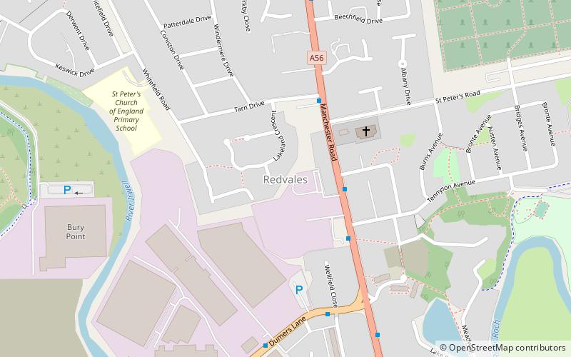
Redvales is a residential district to the south of Bury town centre in Greater Manchester in the United Kingdom. The population of the Bury Ward at the 2011 census was 11,483. Roughly-speaking, the area occupies the area from Manchester Road to the River Irwell, crossed by Radcliffe Road, Redvales Road and Tarn Drive. ()
Coordinates: 53°34'33"N, 2°17'52"W
Address
Bury
ContactAdd
Social media
Add
Day trips
Redvales – popular in the area (distance from the attraction)
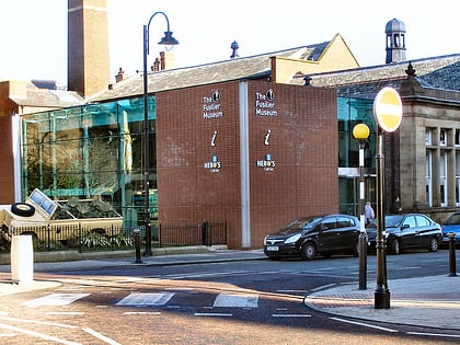
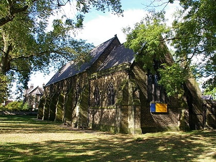
Nearby attractions include: Gigg Lane, Bury Market, The Fusilier Museum, Holy Trinity Church.
Frequently Asked Questions (FAQ)
Which popular attractions are close to Redvales?
Nearby attractions include Gigg Lane, Bury (9 min walk), Fishpool, Bury (14 min walk), Holy Cross College, Bury (16 min walk), Parish Church of St Mary, Manchester (23 min walk).
How to get to Redvales by public transport?
The nearest stations to Redvales:
Tram
Bus
Tram
- Bury • Lines: Altr, Bury, Picc (27 min walk)
- Radcliffe • Lines: Altr, Bury, Picc (34 min walk)
Bus
- Bury Interchange STAND G • Lines: 475 (28 min walk)
- Bury Interchange STAND S • Lines: 135 (28 min walk)


