The Factory, Manchester
Map

Map

Facts and practical information
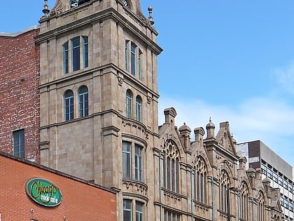
The Factory is a cultural space currently being built in Manchester, UK, which is to be the permanent home of the Manchester International Festival. It is inspired by the city's history of innovation and MIF's "reputation for big-hitting world premieres, envelope-pushing new work" and "being one of the leading worldwide incubators for new, cutting-edge art." ()
Capacity: 7000Coordinates: 53°28'40"N, 2°15'27"W
Day trips
The Factory – popular in the area (distance from the attraction)
Nearby attractions include: Deansgate, Museum of Science and Industry, Quay Street, Mamucium.
Frequently Asked Questions (FAQ)
Which popular attractions are close to The Factory?
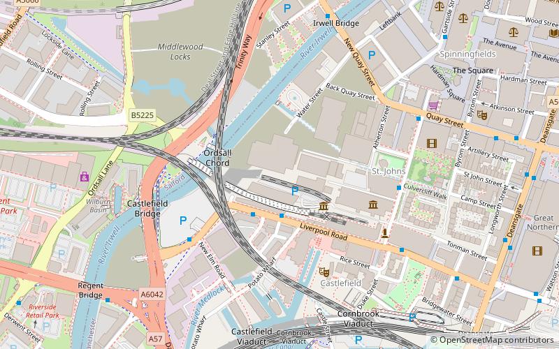
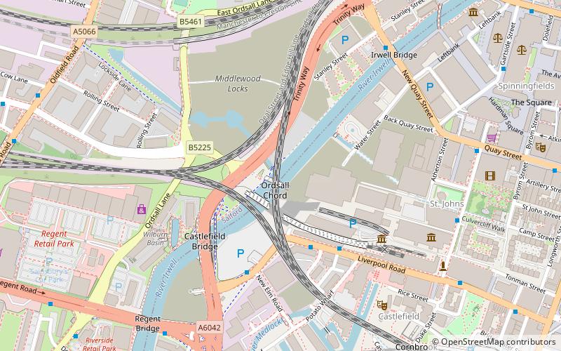
Nearby attractions include Ordsall Chord, Manchester (3 min walk), Museum of Science and Industry, Manchester (3 min walk), River Irwell Railway bridge, Manchester (3 min walk), Castlefield Bowl, Manchester (4 min walk).
How to get to The Factory by public transport?
The nearest stations to The Factory:
Bus
Train
Tram
Bus
- Liverpool Road/Science Museum • Lines: 33, 33B (2 min walk)
- Water Street/New Elm Road • Lines: 33B (4 min walk)
Train
- Salford Central (10 min walk)
- Deansgate (10 min walk)
Tram
- Deansgate-Castlefield • Lines: Airp, Altr, Asht, Bury, Dean, Eccl, EDid, Mcuk, Picc, Roch, Shaw, Vict (10 min walk)
- St. Peter's Square • Lines: Airp, Altr, Asht, Bury, Eccl, EDid, Mcuk, Picc, Roch, Shaw, Vict (16 min walk)

 Metrolink
 Metrolink / Rail


