Oliver Hill, Peak District

Gallery (1)
Map
Map
Facts and practical information
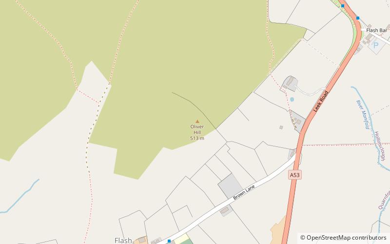
Oliver Hill is a hill, 513 metres high, in the Peak District in the county of Staffordshire in England. It is a treeless summit surrounded by farmland in the southern part of the Peak District about 6 kilometres south-southwest of the town of Buxton. The summit has a tiny cairn near some aerials. ()
Elevation: 1683 ftProminence: 148 ftCoordinates: 53°12'19"N, 1°57'39"W
Address
Peak District
ContactAdd
Social media
Add
Day trips


