Burbage Edge, Peak District

Gallery (3)
Map
Map
Gallery
Facts and practical information
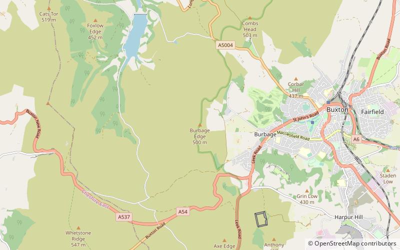
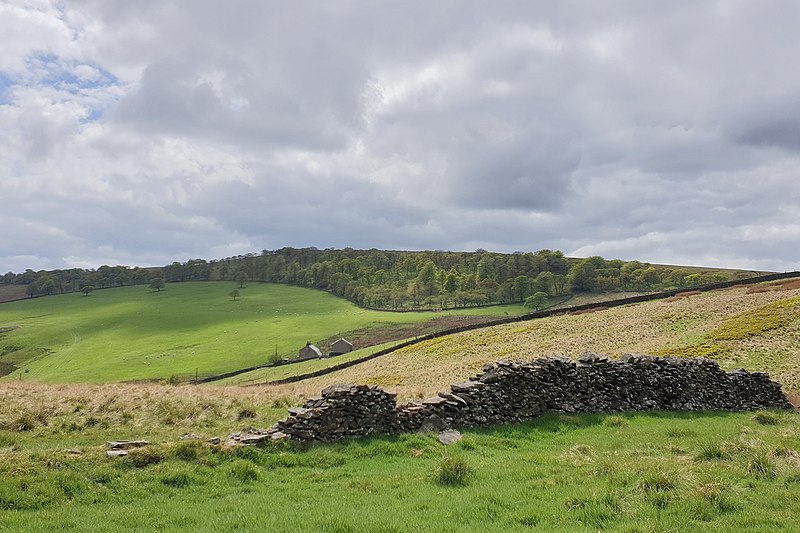
Burbage Edge is a gritstone escarpment overlooking the Burbage district of Buxton in Derbyshire, in the Peak District. The hill's summit is 500 metres above sea level. Not to be confused with the Burbage Rocks extension of Stanage Edge near Hathersage. ()
Coordinates: 53°15'22"N, 1°57'26"W
Address
Peak District
ContactAdd
Social media
Add
Day trips