Castlefield, Manchester
Facts and practical information
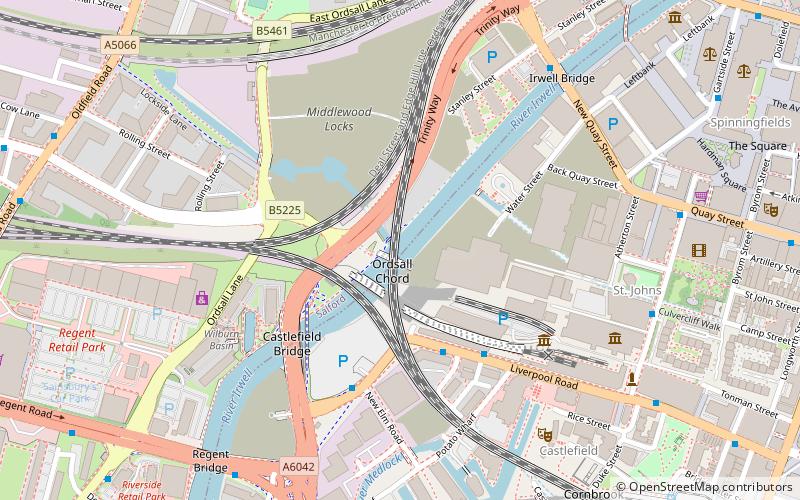
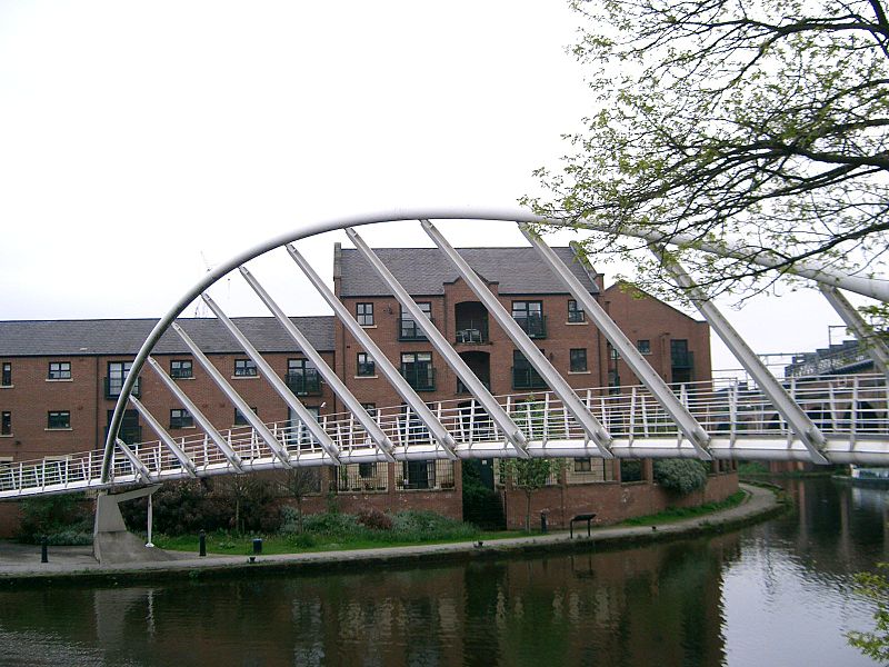
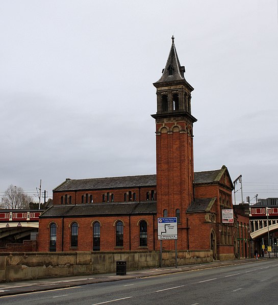
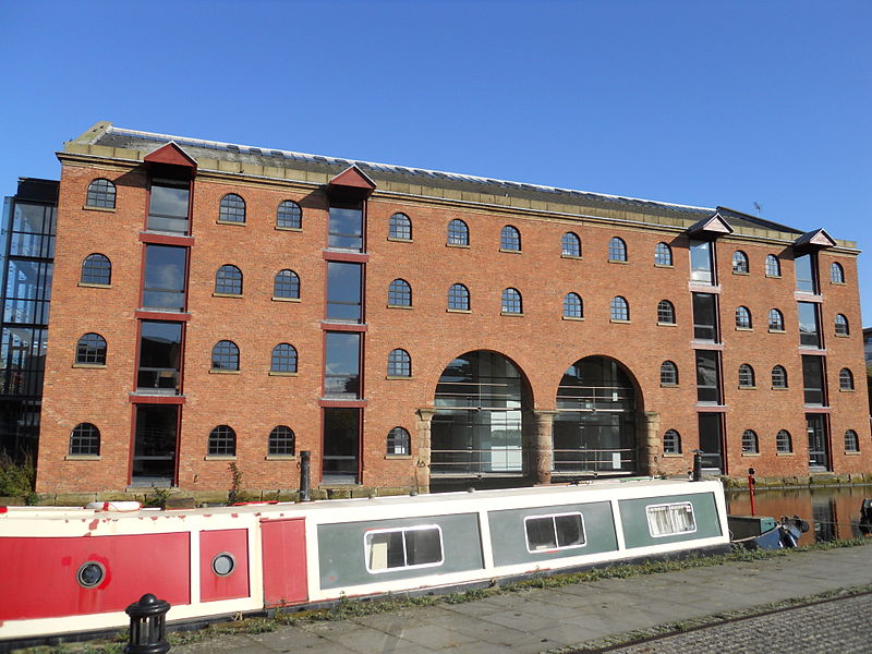
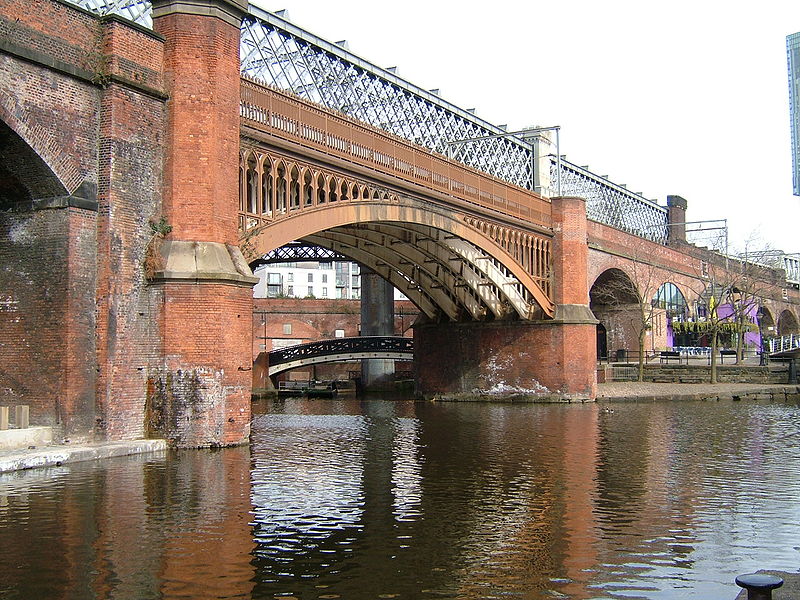
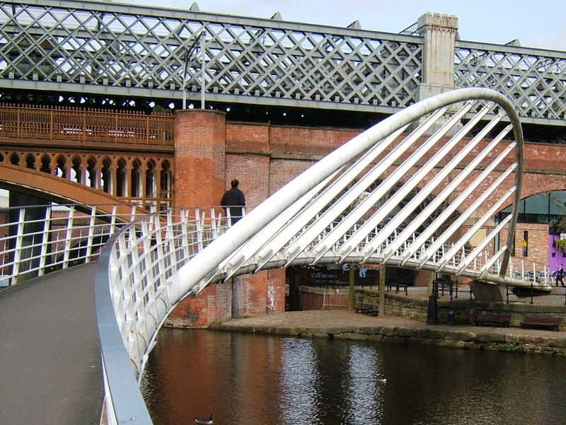
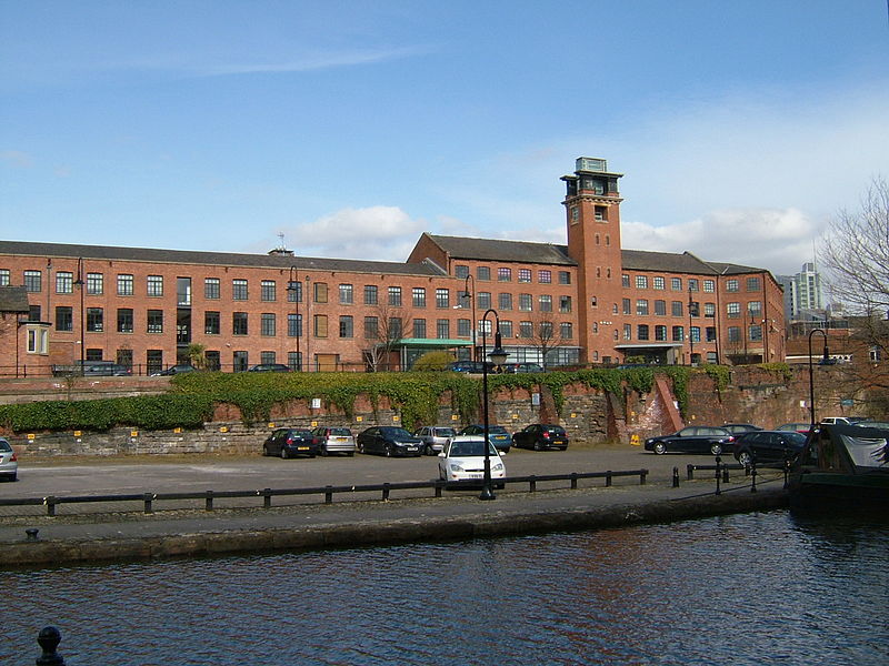
Castlefield is an inner city conservation area of Manchester in North West England. The conservation area which bears its name is bounded by the River Irwell, Quay Street, Deansgate and Chester Road. It was the site of the Roman era fort of Mamucium or Mancunium which gave its name to Manchester. It was the terminus of the Bridgewater Canal, the world's first industrial canal, built in 1764; the oldest canal warehouse opened in 1779. The world's first passenger railway terminated here in 1830, at Liverpool Road railway station and the first railway warehouse opened here in 1831. ()
City CentreManchester
Castlefield – popular in the area (distance from the attraction)
Nearby attractions include: Deansgate, Museum of Science and Industry, The Briton's Protection, Quay Street.
Frequently Asked Questions (FAQ)
Which popular attractions are close to Castlefield?
How to get to Castlefield by public transport?
Bus
- Liverpool Rd/Museum • Lines: 1, 33B (1 min walk)
- Liverpool Road/Barton St • Lines: 33 (2 min walk)
Tram
- Deansgate-Castlefield • Lines: Airp, Altr, Asht, Bury, Dean, Eccl, EDid, Mcuk, Picc, Roch, Shaw, Vict (4 min walk)
- St. Peter's Square • Lines: Airp, Altr, Asht, Bury, Eccl, EDid, Mcuk, Picc, Roch, Shaw, Vict (12 min walk)
Train
- Deansgate (5 min walk)
- Manchester Oxford Road (13 min walk)



 Metrolink
 Metrolink / Rail


