Porlock Weir, Porlock

Gallery (1)
Map
Map
Facts and practical information
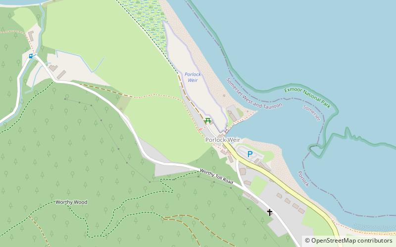
Porlock Weir is a harbour settlement approximately 1.5 miles west of the inland village of Porlock, Somerset, England. "Porlock" comes from the Old English port loca, meaning an enclosure near a harbour. Porlock Weir refers to the salmon stakes and traps that were situated along the shore. ()
Coordinates: 51°13'11"N, 3°37'45"W
Address
Porlock
ContactAdd
Social media
Add
Day trips


