Robber's Bridge, Exmoor National Park
Map

Gallery

Facts and practical information
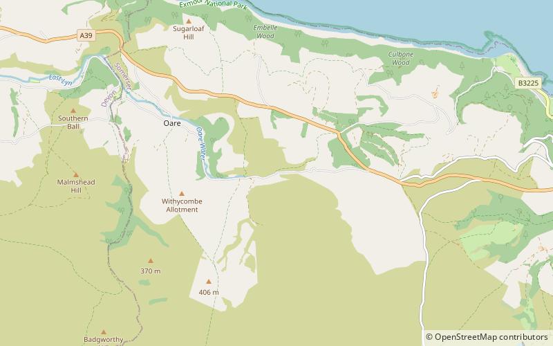
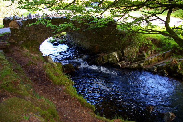
Robber's Bridge, or Robbers Bridge, is an old masonry arch bridge in the royal forest of Exmoor near Doone Valley, carrying the minor road from Porlock Hill to Oare. It crosses Weir Water and is located down a steep, wooded lane beneath overhanging trees. ()
Width: 7 ftCoordinates: 51°12'18"N, 3°41'26"W
Address
Exmoor National Park
ContactAdd
Social media
Add
Day trips
Robber's Bridge – popular in the area (distance from the attraction)
Nearby attractions include: Foreland Point, Coleridge Way, Culbone Church, Church of St Dubricius.


