St Oswald's Church, Leeds

Gallery (1)
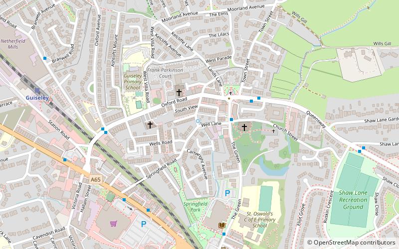
Map
Map
Facts and practical information
St Oswald's Church in Guiseley, West Yorkshire, England, is an active Anglican parish church in the archdeaconry of Leeds and the Diocese of Leeds. ()
Coordinates: 53°52'31"N, 1°42'29"W
Getting there by public transportation
Public transportation stops near this location
- Bus
- Train
 Bus
Bus
- Calculate routeTown Gate Church Street 2 min walk
- Calculate routeQueensway Town Gate Close 3 min walk
- Calculate routeGuiseley Railway Station 5 min walk
- Calculate routeOtley Road Guiseley Libaray 5 min walk
- Calculate routeGuiseley 8 min walk
Day trips
St Oswald's Church – popular in the area (distance from the attraction)
Nearby attractions include: Yeadon Town Hall, Guiseley, Yeadon, Esholt.


Frequently Asked Questions (FAQ)
How to get to St Oswald's Church by public transport?
The nearest stations to St Oswald's Church:
Bus
Train
Bus
- Town Gate Church Street • Lines: 34, A3 (2 min walk)
- Queensway Town Gate Close • Lines: 27, 34 (3 min walk)
Train
- Guiseley (8 min walk)