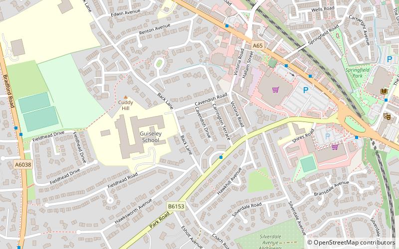
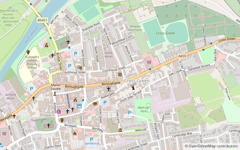
Guiseley, Leeds

Gallery (1)
Map
Map
Facts and practical information
Address
Aireborough (Guiseley)Leeds
ContactAdd
Social media
Add
Getting there by public transportation
Public transportation stops near this location
- Bus
- Train
 Bus
Bus
- Calculate routePark Road Park Gate Crescent 2 min walk
- Calculate routeGuiseley Station Hotel 5 min walk
- Calculate routeGuiseley Morrisons 5 min walk
- Calculate routeOtley Road Guiseley Libaray 6 min walk
- Calculate routeGuiseley 8 min walk
Day trips


Frequently Asked Questions (FAQ)
How to get to Guiseley by public transport?
The nearest stations to Guiseley:
Bus
Train
Bus
- Park Road Park Gate Crescent • Lines: A3 (2 min walk)
- Guiseley Station Hotel • Lines: 33, 34 (5 min walk)
Train
- Guiseley (8 min walk)