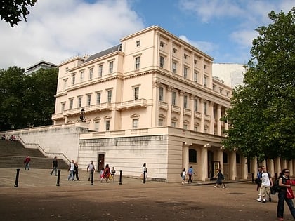
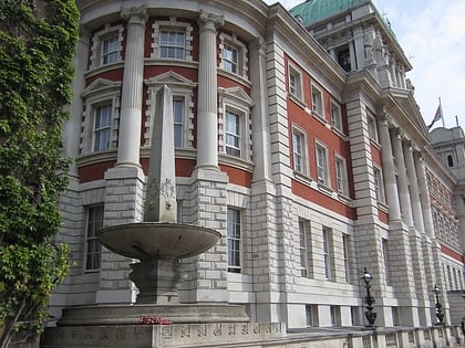
Royal Artillery Boer War Memorial, London
Map
Map

Facts and practical information
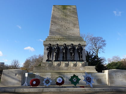
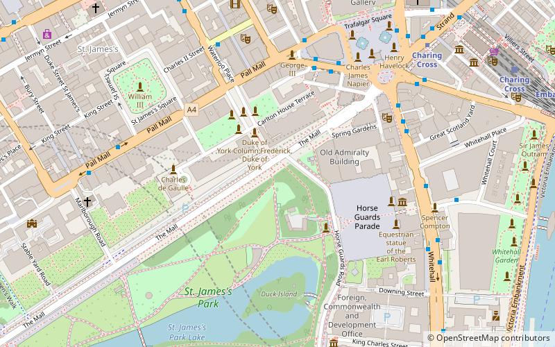
The Royal Artillery Boer War Memorial is located on the south side of The Mall in Central London, close to the junction with Horse Guards Road at the northeast corner of St James's Park. Unveiled in 1910, it marks the deaths of the 1,083 soldiers of the Royal Artillery who died in the Second Boer War from 1899 to 1902 It has been a listed building since 1970. ()
Coordinates: 51°30'20"N, 0°7'52"W
Address
City of Westminster (St. James's)London
ContactAdd
Social media
Add
Day trips
Royal Artillery Boer War Memorial – popular in the area (distance from the attraction)
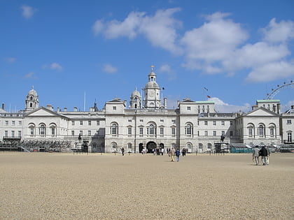
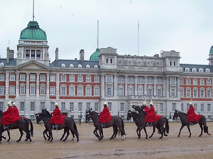
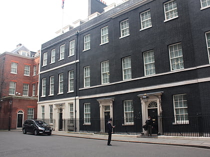
Nearby attractions include: Nelson's Column, Horse Guards Building, Horse Guards Parade, 10 Downing Street.
Frequently Asked Questions (FAQ)
Which popular attractions are close to Royal Artillery Boer War Memorial?
Nearby attractions include National Police Memorial, London (2 min walk), Institute of Contemporary Arts, London (2 min walk), Duke of York Column, London (2 min walk), Carlton House Terrace, London (2 min walk).
How to get to Royal Artillery Boer War Memorial by public transport?
The nearest stations to Royal Artillery Boer War Memorial:
Bus
Metro
Train
Ferry
Bus
- Trafalgar Square / Charing Cross Station • Lines: N26 (6 min walk)
- Charing Cross Station • Lines: N26 (9 min walk)
Metro
- Charing Cross • Lines: Bakerloo, Northern (7 min walk)
- Piccadilly Circus • Lines: Bakerloo, Piccadilly (9 min walk)
Train
- Charing Cross (9 min walk)
- London Waterloo (21 min walk)
Ferry
- Westminster Pier • Lines: Blue Tour, Green Tour, Rb1, Rb1X, Rb2, Red Tour (11 min walk)
- Embankment • Lines: Green Tour, Rb1, Rb1X, Rb2, Rb6 (11 min walk)

 Tube
Tube