Chatterley Whitfield, Stoke-on-Trent
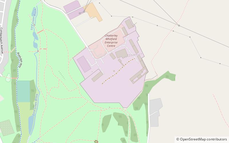
Map

Map

Facts and practical information
Chatterley Whitfield Colliery is a disused coal mine on the outskirts of Chell, Staffordshire in Stoke on Trent, England. It was the largest mine working the North Staffordshire Coalfield and was the first colliery in the UK to produce one million tons of saleable coal in a year. ()
Coordinates: 53°4'35"N, 2°10'31"W
Address
Norton and BradeleyStoke-on-Trent
ContactAdd
Social media
Add
Day trips
Chatterley Whitfield – popular in the area (distance from the attraction)
Nearby attractions include: Westport Lake, Tunstall Town Hall, Knypersley Reservoir, Ford Green Hall.
Frequently Asked Questions (FAQ)
Which popular attractions are close to Chatterley Whitfield?
Nearby attractions include Whitfield Valley, Stoke-on-Trent (18 min walk), Turnhurst, Stoke-on-Trent (20 min walk).


