Cheshire Ring, Manchester

Gallery (4)
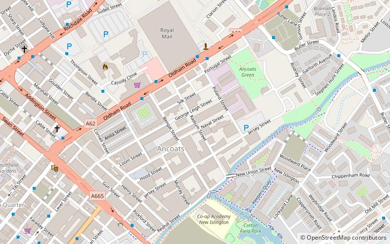
Map

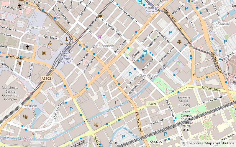
Map
Gallery
Facts and practical information
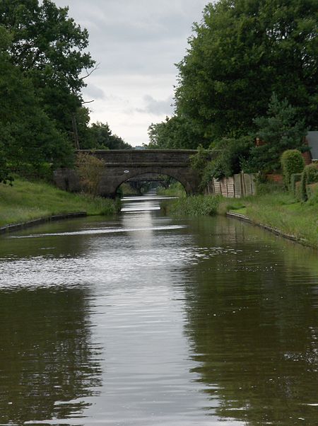
The Cheshire Ring is a canal cruising circuit or canal ring, which includes sections of six canals in and around Cheshire and Greater Manchester in North West England: the Ashton Canal, Peak Forest Canal, Macclesfield Canal, Trent and Mersey Canal, Bridgewater Canal and Rochdale Canal. ()
Address
AncoatsManchester
ContactAdd
Social media
Add
Getting there by public transportation
Public transportation stops near this location
- Bus
- Tram
- Train
 Bus
Bus
- Calculate routePiccadilly Rail Station 5 min walk
- Calculate routeManchester City Centre, Piccadilly / Paton Street 5 min walk
- Calculate routeManchester City Centre, Piccadilly 6 min walk
- Calculate routeManchester City Centre, London Road / Manchester Piccadilly Rail Station 6 min walk
- Calculate routeManchester Piccadilly 5 min walk
- Calculate routeManchester Oxford Road 18 min walk
- Calculate routeManchester Victoria 21 min walk
- Calculate routeArdwick 23 min walk
- Calculate routePiccadilly 5 min walk
- Calculate routeNew Islington 10 min walk
- Calculate routeMarket Street 12 min walk
Maps MetrolinkMaps
 Metrolink / Rail
MetrolinkMapsMetrolink / RailDay trips
Cheshire Ring – popular in the area (distance from the attraction)
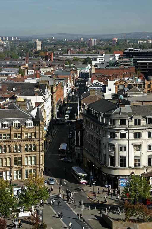
Nearby attractions include: Oldham Street, Market Street, Piccadilly Gardens, Afflecks.


Frequently Asked Questions (FAQ)
Which popular attractions are close to Cheshire Ring?
Nearby attractions include Store Street Aqueduct, Manchester (2 min walk), Gateway House, Manchester (4 min walk), North Star Piccadilly, Manchester (5 min walk), Great Ancoats Street, Manchester (5 min walk).
How to get to Cheshire Ring by public transport?
The nearest stations to Cheshire Ring:
Bus
Train
Tram
Bus
- Piccadilly Rail Station • Lines: 1, 2, 2 (peak) (5 min walk)
- Manchester City Centre, Piccadilly / Paton Street • Lines: 192, X92 (5 min walk)
Train
- Manchester Piccadilly (5 min walk)
- Manchester Oxford Road (18 min walk)
Tram
- Piccadilly • Lines: Altr, Asht, Bury, Eccl, Mcuk, Picc (5 min walk)
- New Islington • Lines: Asht, Eccl, Mcuk (10 min walk)