Wotton and Abinger Commons, Dorking

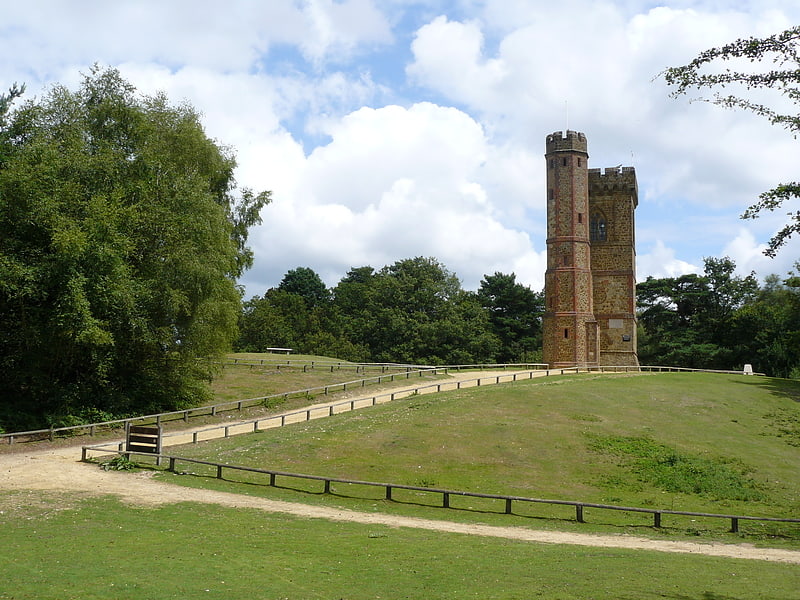
Gallery (1)
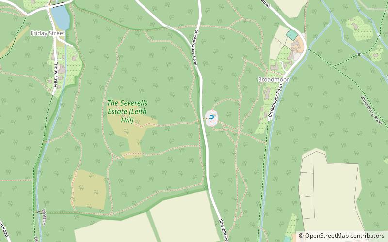
Map
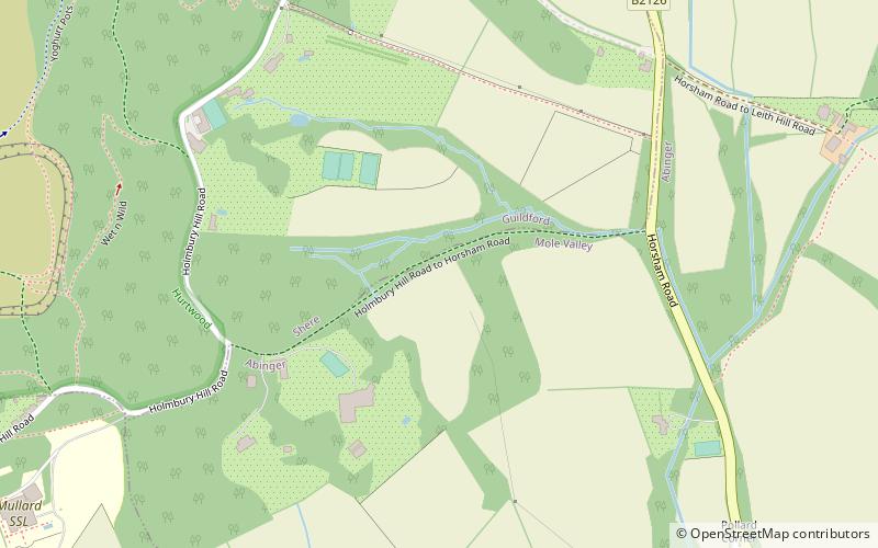
Map
Facts and practical information
Wotton and Abinger Commons is a 324-hectare nature reserve south-west of Dorking in Surrey. It is managed by the Surrey Wildlife Trust. Part of it is in Leith Hill Site of Special Scientific Interest ()
Elevation: 699 ft a.s.l.Coordinates: 51°11'49"N, 0°22'52"W
Address
Dorking
ContactAdd
Social media
Add
Getting there by public transportation
Public transportation stops near this location
- Bus
 Bus
Bus
- Calculate routeFriday Street Turning 19 min walk
- Calculate routeFeldmore Corner 27 min walk
Day trips


Frequently Asked Questions (FAQ)
How to get to Wotton and Abinger Commons by public transport?
The nearest stations to Wotton and Abinger Commons:
Bus
Bus
- Friday Street Turning • Lines: 22, 32 (19 min walk)
- Feldmore Corner • Lines: 22, 32 (27 min walk)