Pen y Boncyn Trefeilw

Gallery (1)
Map
Map
Facts and practical information
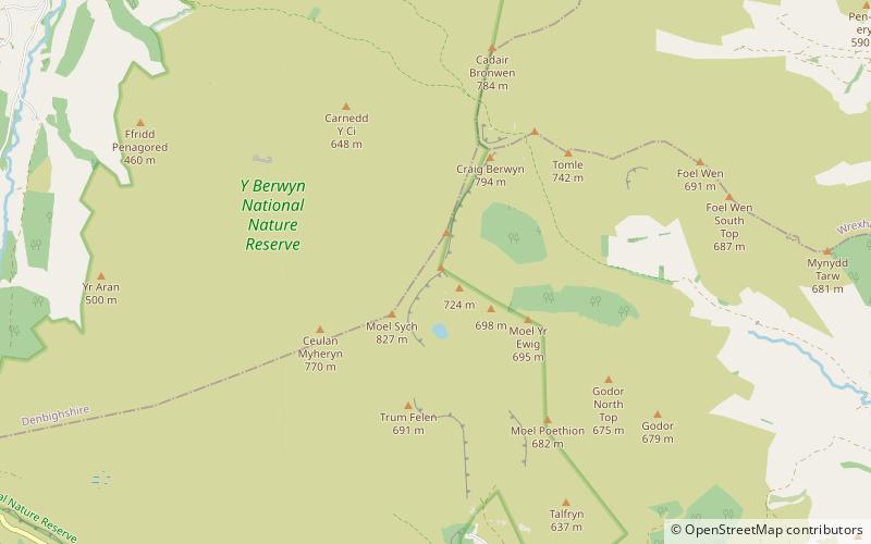
Pen y Boncyn Trefeilw is a subsidiary summit of Cyrniau Nod in north east Wales. It forms a part of the Berwyn range called the Hirnantau. It has two tops: Stac Rhos and Pen y Cerrig Duon. Pen y Cerrig Duon is now listed as a deleted Nuttall due to re-surveying. ()
Elevation: 2119 ftProminence: 187 ftCoordinates: 52°52'48"N, 3°22'55"W
Location
Wales
ContactAdd
Social media
Add
Day trips


