Cyrniau Nod

Gallery (1)
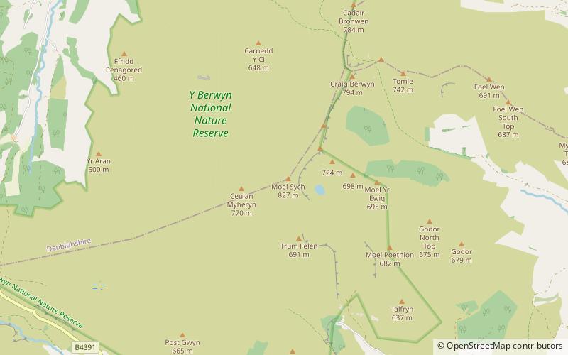
Map
Map
Facts and practical information
Cyrniau Nod is a mountain summit in north east Wales. It is a former Marilyn, the Marilyn summit now being the nearby Foel Cedig. Its summit has the Snowdonia National Park boundary running through it. A number of rivers and streams rise from near the mountain including Afon Tanat, Afon Cedig and Nant Ystrad-y-Groes. ()
Elevation: 2185 ftProminence: 26 ftCoordinates: 52°52'35"N, 3°23'23"W
Location
Wales
ContactAdd
Social media
Add
Day trips


